annual edition - 2011 - Indian Naval Hydrographic Department
annual edition - 2011 - Indian Naval Hydrographic Department
annual edition - 2011 - Indian Naval Hydrographic Department
You also want an ePaper? Increase the reach of your titles
YUMPU automatically turns print PDFs into web optimized ePapers that Google loves.
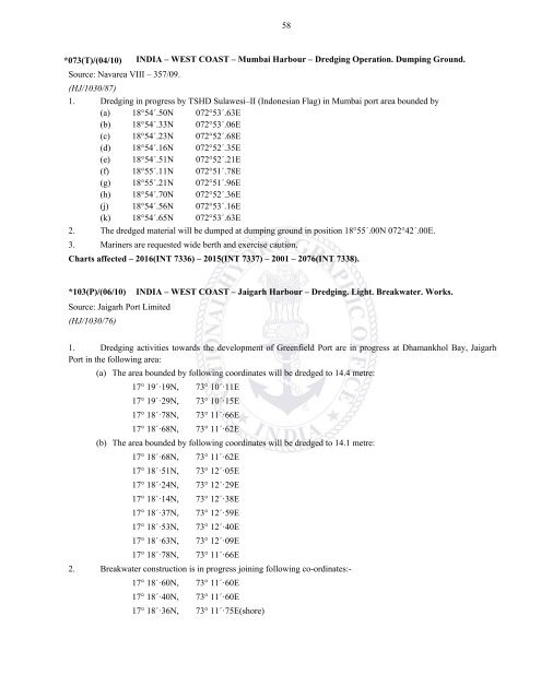
58*073(T)/(04/10)INDIA – WEST COAST – Mumbai Harbour – Dredging Operation. Dumping Ground.Source: Navarea VIII – 357/09.(HJ/1030/87)1. Dredging in progress by TSHD Sulawesi–II (Indonesian Flag) in Mumbai port area bounded by(a) 18°54´.50N 072°53´.63E(b) 18°54´.33N 072°53´.06E(c) 18°54´.23N 072°52´.68E(d) 18°54´.16N 072°52´.35E(e) 18°54´.51N 072°52´.21E(f) 18°55´.11N 072°51´.78E(g) 18°55´.21N 072°51´.96E(h) 18°54´.70N 072°52´.36E(j) 18°54´.56N 072°53´.16E(k) 18°54´.65N 072°53´.63E2. The dredged material will be dumped at dumping ground in position 18°55´.00N 072°42´.00E.3. Mariners are requested wide berth and exercise caution.Charts affected – 2016(INT 7336) – 2015(INT 7337) – 2001 – 2076(INT 7338).*103(P)/(06/10) INDIA – WEST COAST – Jaigarh Harbour – Dredging. Light. Breakwater. Works.Source: Jaigarh Port Limited(HJ/1030/76)1. Dredging activities towards the development of Greenfield Port are in progress at Dhamankhol Bay, JaigarhPort in the following area:(a) The area bounded by following coordinates will be dredged to 14.4 metre:17° 19´·19N, 73° 10´·11E17° 19´·29N, 73° 10´·15E17° 18´·78N, 73° 11´·66E17° 18´·68N, 73° 11´·62E(b) The area bounded by following coordinates will be dredged to 14.1 metre:17° 18´·68N, 73° 11´·62E17° 18´·51N, 73° 12´·05E17° 18´·24N, 73° 12´·29E17° 18´·14N, 73° 12´·38E17° 18´·37N, 73° 12´·59E17° 18´·53N, 73° 12´·40E17° 18´·63N, 73° 12´·09E17° 18´·78N, 73° 11´·66E2. Breakwater construction is in progress joining following co-ordinates:-17° 18´·60N, 73° 11´·60E17° 18´·40N, 73° 11´·60E17° 18´·36N, 73° 11´·75E(shore)


