annual edition - 2011 - Indian Naval Hydrographic Department
annual edition - 2011 - Indian Naval Hydrographic Department
annual edition - 2011 - Indian Naval Hydrographic Department
You also want an ePaper? Increase the reach of your titles
YUMPU automatically turns print PDFs into web optimized ePapers that Google loves.
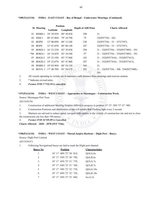
60*189(T)/(13/10)INDIA – EAST COAST – Bay of Bengal – Underwater Moorings. (Continued)Sl. MooringPositionDepth of ADCP(m)Latitude LongitudeCharts Affected01 BNBD-1 18° 59.93N 88° 59.85E 298 31.02 SSM-1 08° 47.96N 79° 10.79E 79 32(INT754) – 262.03 BOPD 12° 00.89N 80° 12.24E 330 32(INT754) – 33 – 357(7397).04 BOPS 12° 01.85N 80° 08.14E 107 32(INT754) – 33 – 357(7397).05 BOKD-1 16° 23.23N 82° 29.83E 294 31 – 32(INT754) – 355(INT7405) – 391.*06 BOKS-1 16° 18.42N 82° 10.54E 97 31 – 32(INT754) – 355(INT7405) – 391.07 BOGS-2 19° 25.19N 85° 37.96E 103 31 – 352(INT7416) – 353(INT7413).08 BOGD-2 19° 22.87N 85° 47.80E 297 31 – 352(INT7416) – 353(INT7413).09 BNBD-2 19° 03.96N 88° 54.15E 360 31.10 BOVS -1 17° 48.78N 83° 58.67E 101 31 – 32(INT754) – 308– 354(INT7408) –391.2. All vessels operating in vicinity are to maintain a safe distance from moorings and exercise caution.3. * Indicates revised entry.4. Former INM 177(T)/10 is cancelled.*197(P)/(14/10) INDIA – WEST COAST – Approaches to Mormugao – Construction Work.Source: Mormugao Port Trust(HJ/1030/56)1. Construction of additional Mooring Dolphin (MD-6) in progress in position 15° 25´·28N 73° 47´·90E.2. Construction Pontoons and obstructions at site will exhibit Red Flashing light every 2 second.3. Mariners are advised to reduce speed, navigate with caution in the vicinity of construction site and not to closethe construction site less than 100 metres.4. Former INM 367(P)/09 is Cancelled.Charts Affected – 2020 – 2078 (INT 7346).*198(P)/(14/10) INDIA – WEST COAST – Murud Janjira Harbour – Dighi Port – Buoys.Source: Dighi Port Limited.(HJ/1030/87)1. Following Navigational buoys are laid to mark the Dighi port channel.Buoys No Position Characteristics1 18° 17´·40N 72° 50´·81E. Q(4).G.6s2 18° 17´·59N 72° 50´·79E. Q(4).R.6s3 18° 17´·45N 72° 51´·77E. Q(5).G.7s4 18° 17´·64N 72° 51´·76E. Q(5).R.7s5 18° 17´·50N 72° 52´·73E. Q(6).G.10s6 18° 17´·69N 72° 52´·72E. Q(6).R.10s7 18° 17´·58N 72° 53´·68E. Iso.G.2s


