Evaluation Sourcebook (.pdf) - School of Natural Resources and ...
Evaluation Sourcebook (.pdf) - School of Natural Resources and ...
Evaluation Sourcebook (.pdf) - School of Natural Resources and ...
- No tags were found...
Create successful ePaper yourself
Turn your PDF publications into a flip-book with our unique Google optimized e-Paper software.
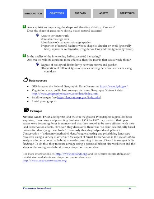
INTRODUCTION OBJECTIVES THREATS ASSETS STRATEGIESX Are acquisitions improving the shape <strong>and</strong> therefore viability <strong>of</strong> an area?Does the shape <strong>of</strong> areas more closely match natural patterns? Area to perimeter ratioCore area vs. edge areaAbundance <strong>of</strong> characteristic edge speciesProportion <strong>of</strong> natural habitats whose shape is: circular or ovoid (generallybest), square or rectangular, irregular or long <strong>and</strong> thin (generally worst)X Is the quality <strong>of</strong> the intervening habitat (matrix) increasing?Are created wildlife corridors more effective than the matrix that was already there? Degree <strong>of</strong> ecological dissimilarity between matrix <strong>and</strong> patchesObservation <strong>of</strong> different types <strong>of</strong> species moving between patches or usingcorridorsData sources• GIS data (see the Federal Geographic Data Committee http://www.fgdc.gov/• Vegetation maps, public l<strong>and</strong> surveys, etc. – see Geography Network data:http://www.geographynetwork.com/data/index.html• Satellite images (see http://l<strong>and</strong>sat.usgs.gov/index.php)• Aerial photographsExample<strong>Natural</strong> L<strong>and</strong>s Trust, a nonpr<strong>of</strong>it l<strong>and</strong> trust in the greater Philadelphia region, has beenacquiring, conserving <strong>and</strong> protecting l<strong>and</strong> since 1953. In 1997 they realized that openspaces were becoming fewer in number <strong>and</strong> that they needed to be more efficient with theirl<strong>and</strong> conservation efforts. However, they discovered there was “no clear, scientifically basedcriteria for identifying these l<strong>and</strong>s.” To remedy this, they helped develop SmartConservation – “a dynamic method <strong>of</strong> identifying, evaluating <strong>and</strong> prioritizing l<strong>and</strong>scaperesources using a variety <strong>of</strong> criteria.” One aspect <strong>of</strong> Smart Conservation is the use <strong>of</strong> GIS toanalyze whether a potential habitat is worth conserving in terms <strong>of</strong> how it is arranged in thel<strong>and</strong>scape. To do this, they measure acreage using a potential habitat size worksheet <strong>and</strong> theshape <strong>of</strong> the contiguous habitat using a shape conversion chart.For more information see: http://www.natl<strong>and</strong>s.org; <strong>and</strong> for detailed information abouthabitat size worksheets <strong>and</strong> shape conversion charts see:http://www.smartconservation.org<strong>Evaluation</strong> <strong>Sourcebook</strong> 31


