Stafford Road Corridor Area Action Plan
Stafford Road Corridor Area Action Plan
Stafford Road Corridor Area Action Plan

Create successful ePaper yourself
Turn your PDF publications into a flip-book with our unique Google optimized e-Paper software.
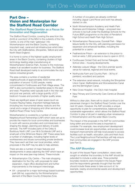
Part One –Vision and Masterplan forthe <strong>Stafford</strong> <strong>Road</strong> <strong>Corridor</strong>The <strong>Stafford</strong> <strong>Road</strong> <strong>Corridor</strong> as a Focus forInnovation and RegenerationThe <strong>Stafford</strong> <strong>Road</strong> <strong>Corridor</strong>, covering the area from theA449 at Junction2 of the M54 to the outskirts of the CityCentre, is one of the main ‘gateways’ intoWolverhampton and the Black Country, containingimportant road, canal and rail infrastructure which linksthe City with <strong>Stafford</strong>shire, Shropshire, Telford and withNorth-West England.It is home to some of the highest quality employmentareas in the Black Country, containing clusters of hightechnology leading edge manufacturing atWolverhampton Science Park. Access to the motorwaymakes it an excellent location for business. The <strong>Stafford</strong><strong>Road</strong> itself developed mainly to accommodate the city’shistoric industrial growth.The area contains a number of residentialneighbourhoods of approximately 4000 homes with apopulation of around 10,500 people, mainlyconcentrated in Fordhouses and Park Village areas. TheAAP is also surrounded by residential areas to the eastand west. Properties were typically built in the inter-warand post war periods, with a large quantity of 2/3bedroom houses and pockets of higher quality areas.There are significant areas of open space (such asFowlers Playing Fields), important heritage features(including two monumental railway viaducts and thecanal) and a range of shopping and other services at<strong>Stafford</strong> <strong>Road</strong> (Three Tuns) Centre.Wolverhampton is covered by a number of LocalNeighbourhood Partnerships (LNP) which were set up toprovide the means for local communities and businessesto work with service providers and commissioners inshaping the design, planning and delivery of publicservices. The AAP includes parts of the Oxley &Bushbury North LNP, Low Hill & Scotlands LNP and asmall part of the Whitmore Reans LNP. These areas facea number of challenges, including higher levels ofworklessness and issues surrounding private landlords.They have each set their own local priorities, whichproposals in the AAP may be able to help address.There are also a number of major features anddevelopments in areas adjoining the AAP which have animpact on the area (see map below). These include:• Wolverhampton City Centre – The main shoppingdestination for the City, with proposals for retailexpansion, major office development and furtherimprovements to the transport interchange.• i54 – proposal for a major technology based businesspark (96 ha), supported by the Wolverhamptonelement of the Black Country Enterprise Zone.A number of occupiers are already confirmedincluding Jaguar Land Rover and work has alreadystarted on site.• North Wolverhampton Academy and Heath ParkBusiness and Enterprise College – proposed newschools to be built under the Buildings Schools for theFuture (BSF) programme on the sites of PendefordHigh School and Heath Park High School.• Wolverhampton Racecourse, Dunstall Park - Majorleisure facility for the City, with planning permission forexpansion and enhanced facilities, including thepotential for a casino.• Featherstone Prison – an extension to the prison tohold an extra 1,600 prisoners is due to open in 2012.• Fordhouses Cricket Club and former RakegateSchool sites – housing developments.• Aldersley Leisure Village – the City’s premier sportsvenue for national, regional and local events.• Northycote Farm and Country Park – 36 ha ofparkland, woodland and pasture.• The extensive canal network, including the ShropshireUnion Canal, <strong>Stafford</strong>shire and Worcestershire Canaland the Birmingham Canal.• New Cross Hospital – the City’s main hospital• New Primary and Community Care Centre at ShowellParkWithout a clear plan, there will no doubt continue to bepiecemeal change in the <strong>Stafford</strong> <strong>Road</strong> <strong>Corridor</strong> over thenext 20 years. However, the AAP provides a uniqueopportunity to plan for comprehensive, balanced andsustainable regeneration, which allows the <strong>Stafford</strong> <strong>Road</strong><strong>Corridor</strong> to play a full part in realising urban renaissancein Wolverhampton and the wider Black Country.The impact of the proposals in the AAP for communitiesliving within and around the area is important toconsider. For example, new employment developmentcould increase local job opportunities, and access andtransport improvements will help local people to accessfacilities such as health, education, jobs and fresh food.The Local Neighbourhood Partnerships will help ensurethat communities are engaged in the AAP process(see Part 5).The AAP BoundaryAs part of the Issues Paper consultation, views weresought on whether the boundary to the AAP should beextended to include a wider area. Three potentialboundary revisions were included in the Issues Paperand the respondents generally thought that the AAPshould include these areas to take account of, forexample, nearby environmental assets and developmentopportunities.Options Report for the Development of the <strong>Stafford</strong> <strong>Road</strong> <strong>Corridor</strong>9