

Archeomatica_3_2023
ggfdhsd
ggfdhsd

You also want an ePaper? Increase the reach of your titles
YUMPU automatically turns print PDFs into web optimized ePapers that Google loves.
ENTERPRISES<br />
exercises will also take place<br />
with Autodesk ReCap, a particularly<br />
powerful low cost product,<br />
and the most recent tools<br />
developed within SfM Agisoft<br />
Metashape for terrain classification,<br />
the integration of Laser<br />
Scanner point clouds in the<br />
same software environment as<br />
Metashape. The procedures for<br />
filtering vegetation from laser<br />
scanner, aerophotogrammetric<br />
and LiDAR data will also be described<br />
through the Open Source<br />
tool FUSION - United States Department<br />
of Agriculture.<br />
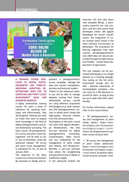
A TRAINING COURSE DEDI-<br />
CATED TO DIGITAL PHOTO-<br />
GRAMMETRY AND THREE-DI-<br />
MENSIONAL SURVEYING: RE-<br />
GISTRATIONS OPEN FOR "3D<br />
SURVEYING AND POINT CLOUD<br />
MANAGEMENT" BASIC AND<br />
ADVANCED MODULES<br />
A highly professional training<br />
course, for years a point of<br />
reference for teaching technique<br />
and effectiveness, that<br />
TerreLogiche Training has built<br />
for those who want to expand<br />
their knowledge in the field of<br />
digital photogrammetry and three-dimensional<br />
surveying. The<br />
basic course "3D photogrammetric<br />
survey and point cloud management"<br />
will be held on 20,<br />
21 and 22 November, while the<br />
advanced module "3D survey<br />
and point cloud management"<br />
is scheduled for 23, 24 and 25<br />
January 2024 .<br />
The objective of the basic<br />
course is to convey the knowledge<br />
necessary to design and im-<br />
plement a photogrammetric<br />
survey campaign, manage the<br />
data and extract orthophotos,<br />
sections and textured models.<br />
Thanks to the advanced module<br />
you will be able to manage<br />
datasets coming from threedimensional<br />
surveys carried<br />
out using different acquisition<br />
technologies (e.g. laser scanner<br />
and SFM photogrammetric survey)<br />
to obtain point clouds and<br />
high-quality textured meshes<br />
from the processed data.<br />
Participants of the basic course<br />
will work with Agisoft Metashape<br />
(Professional), the best<br />
low-cost software for digital<br />
photogrammetry processing,<br />
CloudCompare, Open Source<br />
and very widespread for the<br />
management of point clouds<br />
and meshes, and Perspective-<br />
Rectifier, a low-cost software<br />
that allows the straightening<br />
and georeferencing of digital or<br />
traditional images.<br />
In the advanced module the<br />
The two modules can be purchased<br />
individually or in a single<br />
solution as a training package,<br />
thus saving on the list price.<br />
Guaranteed savings also for<br />
ANA - National Association of<br />
Archaeologists members, who<br />
can count on a 30% discount reserved<br />
for them, as long as they<br />
are up to date with their membership.<br />
For further information, please<br />
refer to the course sheets:<br />
4 "3D photogrammetric survey<br />
and management of point<br />
clouds (basic)" https://www.<br />
terrelogica.com/formazioneterrelogica/scopri-i-corsi/<br />
rilievo-3d-fotogrammetrico-gestion-nuvole-di-punti.html<br />
4 "3D survey and management<br />
of point clouds (advanced)"<br />
https://www.terrelogica.com/<br />
formazione-terrelogica/scoprii-corsi/rilievo-3d-gestion-dellenuvole-di-punti-avanzato.<br />
html<br />
32 32 ArcheomaticA ArcheomaticA N°3 <strong>2023</strong> N°3 <strong>2023</strong>


