You also want an ePaper? Increase the reach of your titles
YUMPU automatically turns print PDFs into web optimized ePapers that Google loves.
98<br />
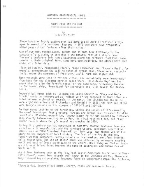
llORTHERl'l GEOG RAPHICAL rlAl4ES :<br />
SHIPS PAST AND PRESENT<br />
IJY<br />
Hel en Kerfoot*<br />
S jnce Canadian <strong>Arctic</strong> exploration was hera'lded by l.lartin Frobisher's voyages<br />
'in search of a lrlorthwes t Passage 'in 1576 venturers have frequently<br />
named geographical features after their shjps.<br />
i4any of our most remote capes, points and is'lands bear testinony to the<br />
success of a captain, o_r conversely the unhapoy fate of a ship-,s crew.<br />
<strong>The</strong> early seafarers left names scattered along the northern c6astline; some<br />
remain in their oriqinal form, some have been nndified, and others have been<br />
added at a later date.<br />
'Gabried Strait','iuiooneshine Fjord', 'Cape Lamprenen' and 'Phoenix llead', for<br />
examp'le, commemorate the sa j I r'nq shi ps of bygone eras; these were, res pectively,<br />
under the conmands of Frobisher, Davis, Munk and Inqlefie'ld.<br />
I4any vessesl s were iced in for the w'inter, and undoubted'ly were homes-awayfrom-home<br />
for the sl edging parties based there. 'Assistance Bay' raas the *<br />
overwintering sj!. f9I Parry's.vessel of the same nan'le, 'Discovery Harbour,<br />
js for i"lares' ship, 'Frarn Have/r for Sverdrupts and 'Gjoa l-laven' for Amundsen<br />
's.<br />
Qeoglaphical names such as 'Doiphin and Union Strait'or'Fury and Hecla<br />
Strajt' cou'ld be jnterpreted as indjcative of the cooperation-that often existed<br />
betvteen exploration vessels in the north. <strong>The</strong> DOLPHIN and the UliIoji<br />
were eight metre boats of Richardson and iGnda'll in 1826; the FURy and HECLA<br />
were Parry's vessel s on his voyages of I82I-23 and ISZ4-25.<br />
Further names testify to the hardships, wrecks ancl losses of life caused by<br />
the cruel 'ice-strewn <strong>Arctic</strong> unters. rErebus and Terror Bay' is named for John<br />
Frankl in's ill -fated exped'itjon, 'Investigator Point' uas- rounded by Ir1'Clure's<br />
shjo shortly before reaching Mercy Bay, its fjnal resting place, ani 'Fur.y<br />
Beach' records where Parry's vessel was vrecked in 1825."<br />
During this century man has continued to'identify coastal features from associatjon<br />
with vess.els that p1y the northern v€ters. Sonetimes descrjptive<br />
hdms5, such as'0ld Steamboat Channel'or'Scow Lake'may themselves tell a<br />
story in the chapters of local history. <strong>The</strong> last of the Arctjc whalers,<br />
former trading schooners, survey vessels or ice breakers are often .individua11y<br />
recognized. <strong>The</strong> use of ships'names was extended by surveyors mapping<br />
north and east of Great Slave Lake in the 1940's. Here today we fjni oit'top.graphjc<br />
maps inland lakes bearing the narne of destroyers and subnnrines of'<br />
bbrld War II.<br />
Apart from features such as the 'St. Roch Basin','i'lascopie Reefs, and rd'Iberville<br />
Fiord', named from vessels we'll-known in the Canadian <strong>Arctic</strong>, there are<br />
many interesting ship-re'lated topony,rns found on topograohic maps. ifre fol lowinq<br />
*secretariat, Geograph'ical I'lames, Enerey, Mines and Resources canaoa.


