reese creek zoning district regulations and map - Gallatin County ...
reese creek zoning district regulations and map - Gallatin County ...
reese creek zoning district regulations and map - Gallatin County ...
Create successful ePaper yourself
Turn your PDF publications into a flip-book with our unique Google optimized e-Paper software.
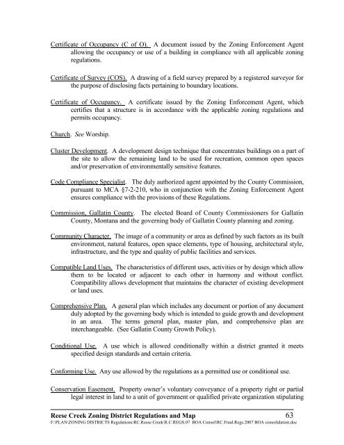
Certificate of Occupancy (C of O). A document issued by the Zoning Enforcement Agent<br />
allowing the occupancy or use of a building in compliance with all applicable <strong>zoning</strong><br />
<strong>regulations</strong>.<br />
Certificate of Survey (COS). A drawing of a field survey prepared by a registered surveyor for<br />
the purpose of disclosing facts pertaining to boundary locations.<br />
Certificate of Occupancy. A certificate issued by the Zoning Enforcement Agent, which<br />
certifies that a structure is in accordance with the applicable <strong>zoning</strong> <strong>regulations</strong> <strong>and</strong><br />
permits occupancy.<br />
Church. See Worship.<br />
Cluster Development. A development design technique that concentrates buildings on a part of<br />
the site to allow the remaining l<strong>and</strong> to be used for recreation, common open spaces<br />
<strong>and</strong>/or preservation of environmentally sensitive features.<br />
Code Compliance Specialist. The duly authorized agent appointed by the <strong>County</strong> Commission,<br />
pursuant to MCA §7-2-210, who in conjunction with the Zoning Enforcement Agent<br />
ensures compliance with the provisions of these Regulations.<br />
Commission, <strong>Gallatin</strong> <strong>County</strong>. The elected Board of <strong>County</strong> Commissioners for <strong>Gallatin</strong><br />
<strong>County</strong>, Montana <strong>and</strong> the governing body of <strong>Gallatin</strong> <strong>County</strong> planning <strong>and</strong> <strong>zoning</strong>.<br />
Community Character. The image of a community or area as defined by such factors as its built<br />
environment, natural features, open space elements, type of housing, architectural style,<br />
infrastructure, <strong>and</strong> the type <strong>and</strong> quality of public facilities <strong>and</strong> services.<br />
Compatible L<strong>and</strong> Uses. The characteristics of different uses, activities or by design which allow<br />
them to be located or adjacent to each other in harmony <strong>and</strong> without conflict.<br />
Compatibility allows development that maintains the character of existing development<br />
or l<strong>and</strong> uses.<br />
Comprehensive Plan. A general plan which includes any document or portion of any document<br />
duly adopted by the governing body which is intended to guide growth <strong>and</strong> development<br />
in an area. The terms general plan, master plan, <strong>and</strong> comprehensive plan are<br />
interchangeable. (See <strong>Gallatin</strong> <strong>County</strong> Growth Policy).<br />
Conditional Use. A use which is allowed conditionally within a <strong>district</strong> granted it meets<br />
specified design st<strong>and</strong>ards <strong>and</strong> certain criteria.<br />
Conforming Use. Any use allowed by the <strong>regulations</strong> as a permitted use or conditional use.<br />
Conservation Easement. Property owner’s voluntary conveyance of a property right or partial<br />
legal interest in l<strong>and</strong> to a unit of government or qualified private organization stipulating<br />
Reese Creek Zoning District Regulations <strong>and</strong> Map 63<br />
F:\PLAN\ZONING DISTRICTS Regulations\RC.Reese Creek\R.C.REGS.07 BOA Consol\RC.Final.Regs.2007 BOA consolidation.doc


