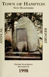
1963 - Lane Memorial Library
1963 - Lane Memorial Library
1963 - Lane Memorial Library

You also want an ePaper? Increase the reach of your titles
YUMPU automatically turns print PDFs into web optimized ePapers that Google loves.
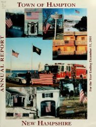
34 HAMPTON TOWN REPORT<br />
In discussion of this report it was pointed out<br />
that the Marsh Conservation Committee used the<br />
Soil Conservation Service aerial Conservation map,<br />
DQW-9K-160, in determining the proposed bounds<br />
for a multi-purpose conservation area. The Western<br />
boundary of the minimum acreage of 350 acres was<br />
discussed as lying slightly west of the Hampton<br />
Landing from Tide Mill River, the western boundary<br />
of Project 1.<br />
The Committee suggested a conservation area of<br />
"350 acres or more" in keeping with the 1962 article,<br />
not 350 acres more or less. The conservation<br />
acreage suggested even at lowest tide was under 700<br />
acres by two scientific counts by two different methods.<br />
The Hampton Municipal Development Authority<br />
used another type of map to discuss proposed<br />
acreage size, and at the time of town meeting had<br />
not yet accepted the size<br />
of the proposed conservation<br />
area.<br />
The bounds in the proposed area were forwarded<br />
to Town Counsel, John W. Perkins, at his request,<br />
for sharing with Mr. Carley, Bond Counsel for the<br />
Municipal Development Authority. The Selectmen<br />
and Authority were forwarded the bounds in a letter<br />
of March 6, <strong>1963</strong> from the Hampton Marsh Conservation<br />
Committee.<br />
RUTH STIMSON, Chairman<br />
Marsh Conservation Committee<br />
A map of the Hampton Marshes was displayed<br />
showing the area that the Conservation Committee<br />
wish to keep in its natural state.<br />
Mr. William Elliot spoke against giving away<br />
more property of the town.