download the full article here - E-International Scientific Research ...
download the full article here - E-International Scientific Research ...
download the full article here - E-International Scientific Research ...

Create successful ePaper yourself
Turn your PDF publications into a flip-book with our unique Google optimized e-Paper software.
E-<strong>International</strong> <strong>Scientific</strong> <strong>Research</strong> Journal<br />
ISSN: 2094-1749 Volume: 3 Issue: 2, 2011<br />
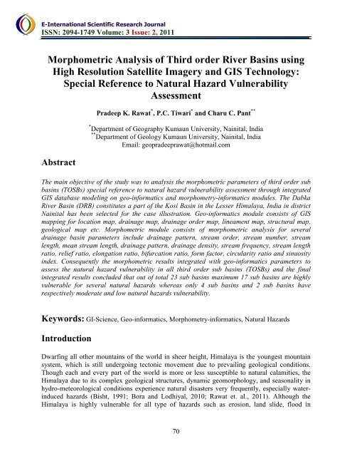
Morphometric Analysis of Third order River Basins using<br />
High Resolution Satellite Imagery and GIS Technology:<br />
Special Reference to Natural Hazard Vulnerability<br />
Assessment<br />
Abstract<br />
Pradeep K. Rawat * , P.C. Tiwari * and Charu C. Pant **<br />
* Department of Geography Kumaun University, Nainital, India<br />
** Department of Geology Kumaun University, Nainital, India<br />
Email: geopradeeprawat@hotmail.com<br />
The main objective of <strong>the</strong> study was to analysis <strong>the</strong> morphometric parameters of third order sub<br />
basins (TOSBs) special reference to natural hazard vulnerability assessment through integrated<br />
GIS database modeling on geo-informatics and morphometry-informatics modules. The Dabka<br />
River Basin (DRB) constitutes a part of <strong>the</strong> Kosi Basin in <strong>the</strong> Lesser Himalaya, India in district<br />
Nainital has been selected for <strong>the</strong> case illustration. Geo-informatics module consists of GIS<br />
mapping for location map, drainage map, drainage order map, lineament map, structural map,<br />
geological map etc. Morphometric module consists of morphometric analysis for several<br />
drainage basin parameters include drainage pattern, stream order, stream number, stream<br />
length, mean stream length, drainage pattern, drainage density, stream frequency, stream length<br />
ratio, relief ratio, elongation ratio, bifurcation ratio, form factor, circularity ratio and sinuosity<br />
index. Consequently <strong>the</strong> morphometric results integrated with geo-informatics parameters to<br />
assess <strong>the</strong> natural hazard vulnerability in all third order sub basins (TOSBs) and <strong>the</strong> final<br />
integrated results concluded that out of total 23 sub basins maximum 17 sub basins are highly<br />
vulnerable for several natural hazards w<strong>here</strong>as only 4 sub basins and 2 sub basins have<br />
respectively moderate and low natural hazards vulnerability.<br />
Keywords: GI-Science, Geo-informatics, Morphometry-informatics, Natural Hazards<br />
Introduction<br />
Dwarfing all o<strong>the</strong>r mountains of <strong>the</strong> world in sheer height, Himalaya is <strong>the</strong> youngest mountain<br />
system, which is still undergoing tectonic movement due to prevailing geological conditions.<br />
Though each and every part of <strong>the</strong> world is more or less susceptible to natural calamities, <strong>the</strong><br />
Himalaya due to its complex geological structures, dynamic geomorphology, and seasonality in<br />
hydro-meteorological conditions experience natural disasters very frequently, especially waterinduced<br />
hazards (Bisht, 1991; Bora and Lodhiyal, 2010; Rawat et. al., 2011). Although <strong>the</strong><br />
Himalaya is highly vulnerable for all type of hazards such as erosion, land slide, flood in<br />
70