Report of Research, Field Investigation and Survey of Robert D ...
Report of Research, Field Investigation and Survey of Robert D ...
Report of Research, Field Investigation and Survey of Robert D ...
Create successful ePaper yourself
Turn your PDF publications into a flip-book with our unique Google optimized e-Paper software.
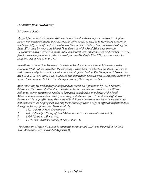
5) Findings from <strong>Field</strong> <strong>Survey</strong><br />
5.1 General Goals<br />
My goal for the preliminary site visit was to locate <strong>and</strong> make survey connections to all <strong>of</strong> the<br />
survey monuments related to the subject Road Allowances, as well as to the nearby properties<br />
(<strong>and</strong> especially the subject <strong>of</strong> the provisional Boundaries Act plan). Some monuments along the<br />
Road Allowance between Lots 18 <strong>and</strong> 19 to the south <strong>of</strong> the Road Allowance between<br />
Concessions 6 <strong>and</strong> 7 were also found, although several were either missing or disturbed. We also<br />
found some survey monuments for the nearby lots within Reg’d Plan 779, <strong>and</strong> some near the<br />
southerly end <strong>of</strong> Reg’d. Plan 757.<br />
In addition to the subject boundary, I wanted to be able to give a reasonable answer to the<br />
question: What will the impact on the adjoining owners be if we establish the Road Allowances<br />
to the water’s edge in accordance with the methods prescribed by The <strong>Survey</strong>s Act? Boundaries<br />
Act File B-1173 (see para. 6.4.3) dismissed that application because insufficient consideration or<br />
research had been undertaken into its impact on neighbouring properties.<br />
After reviewing the preliminary findings <strong>and</strong> the recent BA Application by O.L.S Stewart I<br />
determined that some additional bars needed to be located <strong>and</strong> measured to. In addition,<br />
additional survey monuments needed to be placed to define the boundaries <strong>of</strong> the Road<br />
Allowances in question. Also, during a meeting with the <strong>Survey</strong>or General <strong>and</strong> staff, it was<br />
determined that a pr<strong>of</strong>ile along the centre <strong>of</strong> both Road Allowances needed to be measured so<br />
that sketches could be prepared showing the location <strong>of</strong> water’s edge at different important dates<br />
during the history <strong>of</strong> the area. These would be:<br />
1. 1823 (Patent to John Groessmann);<br />
2. 1891 (Municipal <strong>Survey</strong> <strong>of</strong> Road Allowance between Concessions 6 <strong>and</strong> 7);<br />
3. 1920 (Grant to J.B. Caston);<br />
4. 1929 (<strong>Field</strong> Work for <strong>Survey</strong> <strong>of</strong> Reg’d. Plan 757).<br />
The derivation <strong>of</strong> these elevations is explained at Paragraph 6.5.4, <strong>and</strong> the pr<strong>of</strong>iles for both<br />
Road Allowances are included at Appendix D.<br />
Page 22 <strong>of</strong> 66


