Report of Research, Field Investigation and Survey of Robert D ...
Report of Research, Field Investigation and Survey of Robert D ...
Report of Research, Field Investigation and Survey of Robert D ...
You also want an ePaper? Increase the reach of your titles
YUMPU automatically turns print PDFs into web optimized ePapers that Google loves.
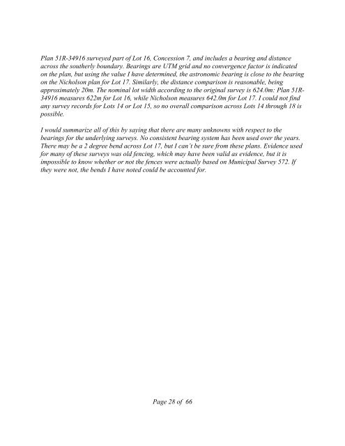
Plan 51R-34916 surveyed part <strong>of</strong> Lot 16, Concession 7, <strong>and</strong> includes a bearing <strong>and</strong> distance<br />
across the southerly boundary. Bearings are UTM grid <strong>and</strong> no convergence factor is indicated<br />
on the plan, but using the value I have determined, the astronomic bearing is close to the bearing<br />
on the Nicholson plan for Lot 17. Similarly, the distance comparison is reasonable, being<br />
approximately 20m. The nominal lot width according to the original survey is 624.0m: Plan 51R-<br />
34916 measures 622m for Lot 16, while Nicholson measures 642.0m for Lot 17. I could not find<br />
any survey records for Lots 14 or Lot 15, so no overall comparison across Lots 14 through 18 is<br />
possible.<br />
I would summarize all <strong>of</strong> this by saying that there are many unknowns with respect to the<br />
bearings for the underlying surveys. No consistent bearing system has been used over the years.<br />
There may be a 2 degree bend across Lot 17, but I can’t be sure from these plans. Evidence used<br />
for many <strong>of</strong> these surveys was old fencing, which may have been valid as evidence, but it is<br />
impossible to know whether or not the fences were actually based on Municipal <strong>Survey</strong> 572. If<br />
they were not, the bends I have noted could be accounted for.<br />
Page 28 <strong>of</strong> 66


