Report of Research, Field Investigation and Survey of Robert D ...
Report of Research, Field Investigation and Survey of Robert D ...
Report of Research, Field Investigation and Survey of Robert D ...
You also want an ePaper? Increase the reach of your titles
YUMPU automatically turns print PDFs into web optimized ePapers that Google loves.
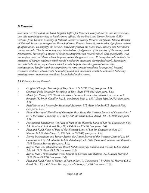
2) <strong>Research</strong>:<br />
Searches carried out at the L<strong>and</strong> Registry Office for Simcoe County at Barrie, the Teraview online<br />
title searching service, at local survey <strong>of</strong>fices, the on-line L<strong>and</strong> <strong>Survey</strong> Records (LSR)<br />
website, from Ontario Ministry <strong>of</strong> Natural Resources <strong>Survey</strong> Records <strong>and</strong> from Ontario Ministry<br />
<strong>of</strong> Natural Resources Integration Branch (Crown Patents Branch) produced a significant volume<br />
<strong>of</strong> information. To simplify the review I have categorized the plans into Primary <strong>and</strong> Secondary<br />
survey records. This is not in any way intended as a judgement <strong>of</strong> the quality <strong>of</strong> the survey work<br />
represented, but simply a means <strong>of</strong> distinguishing between records which deal specifically with<br />
the subject area <strong>and</strong> those which help to capture the general area. Primary Records indicate the<br />
existence <strong>of</strong> <strong>Survey</strong> evidence which would need to be measured during field work. Secondary<br />
Records indicate survey evidence which would help to show the general ownership<br />
configuration, but for which a comprehensive retracement would not be required. Instead,<br />
scattered evidence which could be readily found <strong>and</strong> measured would be obtained, but every<br />
existing survey monument would not be included in the survey.<br />
2.1 Primary <strong>Survey</strong> Records<br />
• Original Plan for Township <strong>of</strong> Tiny (Scan 2212 C30 Tiny) (see para. 3.1);<br />
• Original <strong>Field</strong> Notes for Township <strong>of</strong> Tiny (Scan FNB 665) (see para. 3.1);<br />
• Municipal <strong>Survey</strong> 572 (Road Allowance between Concessions 6 <strong>and</strong> 7 across Lots 9<br />
through 18) by M. Gaviller P.L.S., confirmed Dec. 1, 1891 (Scan MunSur572) (see para.<br />
3.2);<br />
• <strong>Field</strong> Notes <strong>and</strong> <strong>Report</strong> for Municipal Resurvey 572 (Scan MunSur572_<strong>Report</strong>&FNs)<br />
(see para. 3.2);<br />
• Plan <strong>of</strong> <strong>Survey</strong> <strong>of</strong> Shoreline <strong>of</strong> Georgian Bay Along the Western Bounds <strong>of</strong> Concessions 1<br />
to 12 Inclusive, Township <strong>of</strong> Tiny by E.P. Bowman O.L.S. dated Oct. 15, 1938 (see para<br />
3.5);<br />
• Provisional Boundaries Act Plan <strong>of</strong> Part <strong>of</strong> the Westerly Limit <strong>of</strong> Lot 19, Concession 6 by<br />
J.A. Stanton O.L.S. dated May 29, 1984 (Scan K8-39) (see para. 3.6);<br />
• Plan <strong>and</strong> <strong>Field</strong> Notes <strong>of</strong> Part <strong>of</strong> the Westerly Limit <strong>of</strong> Lot 19, Concession 6 by J.A.<br />
Stanton O.L.S. dated Sept. 8, 1983 (Scan U29-40) (see para. 3.7);<br />
• <strong>Survey</strong> Instructions <strong>and</strong> <strong>Survey</strong> <strong>Report</strong> for Staton <strong>Survey</strong> <strong>of</strong> the Westerly Limit <strong>of</strong> Lot 19,<br />
Concession 6 by J.A. Stanton O.L.S. dated Sept. 13, 1983 (Scan Instructions <strong>and</strong> <strong>Report</strong> -<br />
1983 Stanton <strong>Survey</strong>) (see para. 3.6);<br />
• Reg’d. Plan 757 (Wimblewood Beach Subdivision) by Cavana <strong>and</strong> Watson O.L.S. dated<br />
July 16, 1929 (Scan PL757) (see para. 3.3);<br />
• Reg’d. Plan 779 (Mountain View Beach) by Cavana <strong>and</strong> Watson O.L.S. dated March 2,<br />
1932 (Scan PL779) (see para. 3.4);<br />
• Plan <strong>and</strong> <strong>Field</strong> Notes <strong>of</strong> <strong>Survey</strong> <strong>of</strong> Part <strong>of</strong> Lot 19, Concession 7 by John M. Harvey O.L S.<br />
dated Dec. 15, 1961 (Scan Harvey_1 <strong>and</strong> Harvey_1_FN) (see para. 3.5);<br />
Page 2 <strong>of</strong> 66


