Global Data Catalog - Pitney Bowes
Global Data Catalog - Pitney Bowes
Global Data Catalog - Pitney Bowes
You also want an ePaper? Increase the reach of your titles
YUMPU automatically turns print PDFs into web optimized ePapers that Google loves.
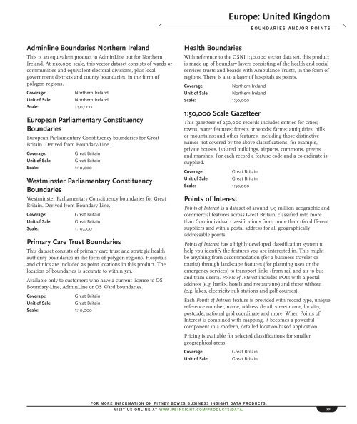
Europe: United Kingdom<br />
BOUNDARIES AND/OR POINTS<br />
Adminline Boundaries Northern Ireland<br />
This is an equivalent product to AdminLine but for Northern<br />
Ireland. At 1:50,000 scale, this vector dataset consists of wards or<br />
communities and equivalent electoral divisions, plus local<br />
government districts and county boundaries, in the form of<br />
polygon regions.<br />
Coverage:<br />
Northern Ireland<br />
Unit of Sale: Northern Ireland<br />
Scale: 1:50,000<br />
European Parliamentary Constituency<br />
Boundaries<br />
European Parliamentary Constituency boundaries for Great<br />
Britain. Derived from Boundary-Line.<br />
Coverage:<br />
Great Britain<br />
Unit of Sale: Great Britain<br />
Scale: 1:10,000<br />
Westminster Parliamentary Constituency<br />
Boundaries<br />
Westminster Parliamentary Constituency boundaries for Great<br />
Britain. Derived from Boundary-Line.<br />
Coverage:<br />
Great Britain<br />
Unit of Sale: Great Britain<br />
Scale: 1:10,000<br />
Primary Care Trust Boundaries<br />
This dataset consists of primary care trust and strategic health<br />
authority boundaries in the form of polygon regions. Hospitals<br />
and clinics are included as point locations in this product. The<br />
location of boundaries is accurate to within 3m.<br />
Available only to customers who have a current license to OS<br />
Boundary-Line, AdminLine or OS Ward boundaries.<br />
Coverage:<br />
Great Britain<br />
Unit of Sale: Great Britain<br />
Scale: 1:10,000<br />
Health Boundaries<br />
With reference to the OSNI 1:50,000 vector data set, this product<br />
is made up of boundary layers consisting of the health and social<br />
services trusts and boards with Ambulance Trusts, in the form of<br />
regions. There is also a layer of hospitals as points.<br />
Coverage:<br />
Northern Ireland<br />
Unit of Sale: Northern Ireland<br />
Scale: 1:50,000<br />
1:50,000 Scale Gazetteer<br />
This gazetteer of 250,000 records includes entries for cities;<br />
towns; water features; forests or woods; farms; antiquities; hills<br />
or mountains; and other features, including those distinctive<br />
names not covered by the above classifications, for example,<br />
private houses, isolated buildings, airports, commons, greens<br />
and marshes. For each record a feature code and a co-ordinate is<br />
supplied.<br />
Coverage:<br />
Great Britain<br />
Unit of Sale: Great Britain<br />
Scale: 1:50,000<br />
Points of Interest<br />
Points of Interest is a dataset of around 3.9 million geographic and<br />
commercial features across Great Britain, classified into more<br />
than 600 individual classifications from more than 160 different<br />
suppliers and with a postal address for all geographically<br />
addressable points.<br />
Points of Interest has a highly developed classification system to<br />
help you identify the features you are interested in. This might<br />
be anything from accommodation (for a business traveler or<br />
tourist) through landscape features (for planning uses or the<br />
emergency services) to transport links (from rail and air to bus<br />
and tram users). Points of Interest includes POIs with a postal<br />
address (e.g. banks, hotels and restaurants) and those without<br />
(e.g. lakes, electricity sub stations and golf courses).<br />
Each Points of Interest feature is provided with record type, unique<br />
reference number, name, address detail, street name, locality,<br />
postcode, national grid coordinate and more. When Points of<br />
Interest is combined with mapping, it becomes a powerful<br />
component in a modern, detailed location-based application.<br />
Pricing is available for selected classifications for smaller<br />
geographical areas.<br />
Coverage:<br />
Unit of Sale:<br />
Great Britain<br />
Great Britain<br />
FOR MORE INFORMATION ON PITNEY BOWES BUSINESS INSIGHT DATA PRODUCTS,<br />
VISIT US ONLINE AT WWW.PBINSIGHT.COM/PRODUCTS/DATA/<br />
39


