Cobram 2025 Cobram Strategy Plan - Moira Shire Council
Cobram 2025 Cobram Strategy Plan - Moira Shire Council
Cobram 2025 Cobram Strategy Plan - Moira Shire Council
You also want an ePaper? Increase the reach of your titles
YUMPU automatically turns print PDFs into web optimized ePapers that Google loves.
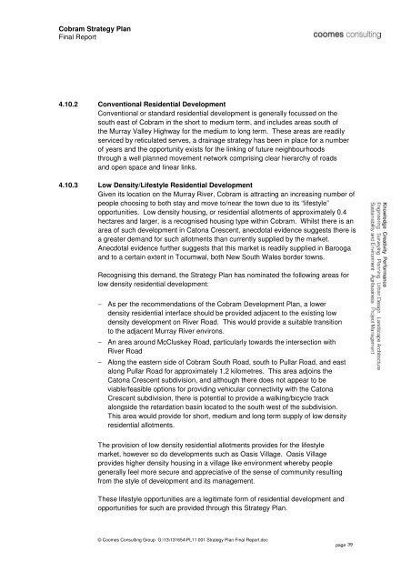
<strong>Cobram</strong> <strong>Strategy</strong> <strong>Plan</strong><br />
Final Report<br />
4.10.2 Conventional Residential Development<br />
Conventional or standard residential development is generally focussed on the<br />
south east of <strong>Cobram</strong> in the short to medium term, and includes areas south of<br />
the Murray Valley Highway for the medium to long term. These areas are readily<br />
serviced by reticulated serves, a drainage strategy has been in place for a number<br />
of years and the opportunity exists for the linking of future neighbourhoods<br />
through a well planned movement network comprising clear hierarchy of roads<br />
and open space and linear links.<br />
4.10.3 Low Density/Lifestyle Residential Development<br />
Given its location on the Murray River, <strong>Cobram</strong> is attracting an increasing number of<br />
people choosing to both stay and move to/near the town due to its “lifestyle”<br />
opportunities. Low density housing, or residential allotments of approximately 0.4<br />
hectares and larger, is a recognised housing type within <strong>Cobram</strong>. Whilst there is an<br />
area of such development in Catona Crescent, anecdotal evidence suggests there is<br />
a greater demand for such allotments than currently supplied by the market.<br />
Anecdotal evidence further suggests that this market is readily supplied in Barooga<br />
and to a certain extent in Tocumwal, both New South Wales border towns.<br />
Recognising this demand, the <strong>Strategy</strong> <strong>Plan</strong> has nominated the following areas for<br />
low density residential development:<br />
− As per the recommendations of the <strong>Cobram</strong> Development <strong>Plan</strong>, a lower<br />
density residential interface should be provided adjacent to the existing low<br />
density development on River Road. This would provide a suitable transition<br />
to the adjacent Murray River environs.<br />
− An area around McCluskey Road, particularly towards the intersection with<br />
River Road<br />
− Along the eastern side of <strong>Cobram</strong> South Road, south to Pullar Road, and east<br />
along Pullar Road for approximately 1.2 kilometres. This area adjoins the<br />
Catona Crescent subdivision, and although there does not appear to be<br />
viable/feasible options for providing vehicular connectivity with the Catona<br />
Crescent subdivision, there is potential to provide a walking/bicycle track<br />
alongside the retardation basin located to the south west of the subdivision.<br />
This area would provide for short, medium and long term supply of low density<br />
residential allotments.<br />
The provision of low density residential allotments provides for the lifestyle<br />
market, however so do developments such as Oasis Village. Oasis Village<br />
provides higher density housing in a village like environment whereby people<br />
generally feel more secure and appreciative of the sense of community resulting<br />
from the style of development and its management.<br />
These lifestyle opportunities are a legitimate form of residential development and<br />
opportunities for such are provided through this <strong>Strategy</strong> <strong>Plan</strong>.<br />
© Coomes Consulting Group G:\13\131654\PL11 001 <strong>Strategy</strong> <strong>Plan</strong> Final Report.doc<br />
page 39


