Minnegang Creek Flood Study Report - Wollongong City Council
Minnegang Creek Flood Study Report - Wollongong City Council
Minnegang Creek Flood Study Report - Wollongong City Council
- No tags were found...
Create successful ePaper yourself
Turn your PDF publications into a flip-book with our unique Google optimized e-Paper software.
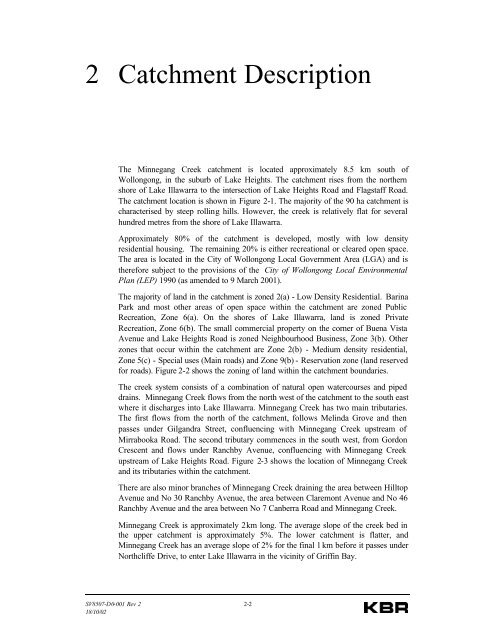
2 Catchment DescriptionThe <strong>Minnegang</strong> <strong>Creek</strong> catchment is located approximately 8.5 km south of<strong>Wollongong</strong>, in the suburb of Lake Heights. The catchment rises from the northernshore of Lake Illawarra to the intersection of Lake Heights Road and Flagstaff Road.The catchment location is shown in Figure 2-1. The majority of the 90 ha catchment ischaracterised by steep rolling hills. However, the creek is relatively flat for severalhundred metres from the shore of Lake Illawarra.Approximately 80% of the catchment is developed, mostly with low densityresidential housing. The remaining 20% is either recreational or cleared open space.The area is located in the <strong>City</strong> of <strong>Wollongong</strong> Local Government Area (LGA) and istherefore subject to the provisions of the <strong>City</strong> of <strong>Wollongong</strong> Local EnvironmentalPlan (LEP) 1990 (as amended to 9 March 2001).The majority of land in the catchment is zoned 2(a) - Low Density Residential. BarinaPark and most other areas of open space within the catchment are zoned PublicRecreation, Zone 6(a). On the shores of Lake Illawarra, land is zoned PrivateRecreation, Zone 6(b). The small commercial property on the corner of Buena VistaAvenue and Lake Heights Road is zoned Neighbourhood Business, Zone 3(b). Otherzones that occur within the catchment are Zone 2(b) - Medium density residential,Zone 5(c) - Special uses (Main roads) and Zone 9(b) - Reservation zone (land reservedfor roads). Figure 2-2 shows the zoning of land within the catchment boundaries.The creek system consists of a combination of natural open watercourses and pipeddrains. <strong>Minnegang</strong> <strong>Creek</strong> flows from the north west of the catchment to the south eastwhere it discharges into Lake Illawarra. <strong>Minnegang</strong> <strong>Creek</strong> has two main tributaries.The first flows from the north of the catchment, follows Melinda Grove and thenpasses under Gilgandra Street, confluencing with <strong>Minnegang</strong> <strong>Creek</strong> upstream ofMirrabooka Road. The second tributary commences in the south west, from GordonCrescent and flows under Ranchby Avenue, confluencing with <strong>Minnegang</strong> <strong>Creek</strong>upstream of Lake Heights Road. Figure 2-3 shows the location of <strong>Minnegang</strong> <strong>Creek</strong>and its tributaries within the catchment.There are also minor branches of <strong>Minnegang</strong> <strong>Creek</strong> draining the area between HilltopAvenue and No 30 Ranchby Avenue, the area between Claremont Avenue and No 46Ranchby Avenue and the area between No 7 Canberra Road and <strong>Minnegang</strong> <strong>Creek</strong>.<strong>Minnegang</strong> <strong>Creek</strong> is approximately 2 km long. The average slope of the creek bed inthe upper catchment is approximately 5%. The lower catchment is flatter, and<strong>Minnegang</strong> <strong>Creek</strong> has an average slope of 2% for the final 1 km before it passes underNorthcliffe Drive, to enter Lake Illawarra in the vicinity of Griffin Bay.SV8507-D0-001 Rev 2 2-218/10/02


