Minnegang Creek Flood Study Report - Wollongong City Council
Minnegang Creek Flood Study Report - Wollongong City Council
Minnegang Creek Flood Study Report - Wollongong City Council
- No tags were found...
Create successful ePaper yourself
Turn your PDF publications into a flip-book with our unique Google optimized e-Paper software.
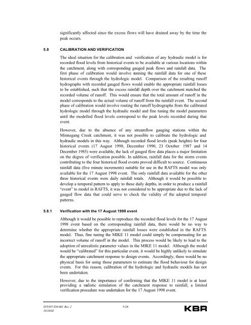
significantly affected since the excess flows will have drained away by the time thepeak occurs.5.8 CALIBRATION AND VERIFICATIONThe ideal situation for the calibration and verification of any hydraulic model is forrecorded flood levels from historical events to be available at various locations withinthe catchment, along with corresponding gauged peak flows and rainfall data. Thefirst phase of calibration would involve running the rainfall data for one of thesehistorical events through the hydrologic model. Comparison of the resulting runoffhydrographs with recorded gauged flows would enable the appropriate rainfall lossesto be established, such that the excess rainfall depth over the catchment matched therecorded volume of runoff. This would ensure that the total amount of runoff in themodel corresponds to the actual volume of runoff from the rainfall event. The secondphase of calibration would involve routing the runoff hydrographs from the calibratedhydrologic model through the hydraulic model and fine tuning the model parametersuntil the modelled flood levels correspond to the peak levels recorded during thatevent.However, due to the absence of any streamflow gauging stations within the<strong>Minnegang</strong> <strong>Creek</strong> catchment, it was not possible to calibrate the hydrologic andhydraulic models in this way. Although recorded flood levels (peak heights) for fourhistorical events (17 August 1998, December 1990, 23 October 1987 and 14December 1985) were available, the lack of gauged flow data places a major limitationon the degree of verification possible. In addition, rainfall data for the storm eventscontributing to the four historical flood events proved difficult to source. Continuousrainfall data (five minute increments) suitable for use in the RAFTS model was onlyavailable for the 17 August 1998 event. The only rainfall data available for the otherthree historical events were daily rainfall totals. Although it would be possible todevelop a temporal pattern to apply to these daily depths, in order to produce a rainfall“event” to model in RAFTS, it was not considered to be appropriate due to the lack ofgauged flow data that could serve to check the validity of the adopted temporalpatterns.5.8.1 Verification with the 17 August 1998 eventAlthough it would be possible to reproduce the recorded flood levels for the 17 August1998 event based on the corresponding rainfall data, there would be no way todetermine whether the appropriate rainfall losses were established in the RAFTSmodel. Thus, fine tuning the MIKE 11 model could simply be compensating for anincorrect volume of runoff in the model. This process would be likely to lead to theadoption of unrealistic parameter values in the MIKE 11 model. Although the modelwould be “calibrated” for this particular event, it would be highly unlikely to simulatethe appropriate catchment response to design events. Accordingly, there would be nophysical basis for using those parameters to estimate the flood behaviour for designevents. For this reason, calibration of the hydrologic and hydraulic models has notbeen undertaken.However, due to the importance of confirming that the MIKE 11 model is at leastproviding a realistic simulation of the catchment response to rainfall, a limitedverification procedure was undertaken for the 17 August 1998 event.SV8507-D0-001 Rev 2 5-2418/10/02


