Minnegang Creek Flood Study Report - Wollongong City Council
Minnegang Creek Flood Study Report - Wollongong City Council
Minnegang Creek Flood Study Report - Wollongong City Council
- No tags were found...
You also want an ePaper? Increase the reach of your titles
YUMPU automatically turns print PDFs into web optimized ePapers that Google loves.
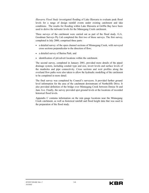
Illawarra <strong>Flood</strong> <strong>Study</strong> investigated flooding of Lake Illawarra to evaluate peak floodlevels for a range of design rainfall events under existing catchment and lakeconditions. The results for flooding within Lake Illawarra at Griffin Bay have beenused to derive the tailwater levels for the <strong>Minnegang</strong> <strong>Creek</strong> catchment.Three surveys of the catchment were carried out as part of the flood study. G.A.Goodman Surveys Pty Ltd completed the first two of these surveys. The first survey,completed in July 2000, comprised three parts:• a detailed survey of the open channel sections of <strong>Minnegang</strong> <strong>Creek</strong>, with surveyedcross sections perpendicular to the direction of flow;• a detailed survey of Barina Park; and• identification of pit/culvert locations within the catchment.The second survey, completed in January 2001, provided more details of the pipeddrainage system, including conduit type and size, invert levels and surface levels ofthe manholes and pipe connectivity. Cross sections and weir profiles along theoverland flow paths were also taken to allow the hydraulic modelling of the catchmentto be completed in more detail.The final survey was completed by <strong>Council</strong>’s surveyors. It provided further groundlevel information for the area of the catchment downstream of Northcliffe Drive. Italso provided definition of the bridge over <strong>Minnegang</strong> <strong>Creek</strong> between Denise St andJane Ave. Finally, the survey provided spot ground levels at the locations of recordedhistorical flood levels.Appendix C contains information on the rain gauge locations near the <strong>Minnegang</strong><strong>Creek</strong> catchment, as well as historical rainfall and flood height data that was used inthe preparation of the flood study.SV8507-D0-001 Rev 2 3-818/10/02


