Minnegang Creek Flood Study Report - Wollongong City Council
Minnegang Creek Flood Study Report - Wollongong City Council
Minnegang Creek Flood Study Report - Wollongong City Council
- No tags were found...
You also want an ePaper? Increase the reach of your titles
YUMPU automatically turns print PDFs into web optimized ePapers that Google loves.
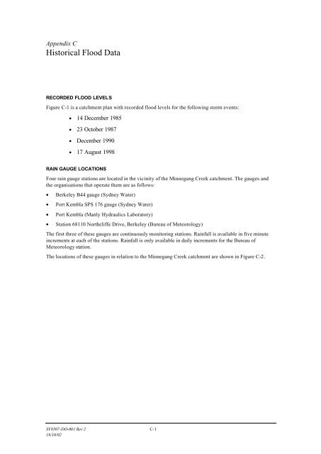
Appendix CHistorical <strong>Flood</strong> DataRECORDED FLOOD LEVELSFigure C-1 is a catchment plan with recorded flood levels for the following storm events:• 14 December 1985• 23 October 1987• December 1990• 17 August 1998RAIN GAUGE LOCATIONSFour rain gauge stations are located in the vicinity of the <strong>Minnegang</strong> <strong>Creek</strong> catchment. The gauges andthe organisations that operate them are as follows:• Berkeley B44 gauge (Sydney Water)• Port Kembla SPS 176 gauge (Sydney Water)• Port Kembla (Manly Hydraulics Laboratory)• Station 68110 Northcliffe Drive, Berkeley (Bureau of Meteorology)The first three of these gauges are continuously monitoring stations. Rainfall is available in five minuteincrements at each of the stations. Rainfall is only available in daily increments for the Bureau ofMeteorology station.The locations of these gauges in relation to the <strong>Minnegang</strong> <strong>Creek</strong> catchment are shown in Figure C-2.SV8507-DO-001 Rev 2 C-118/10/02


