Minnegang Creek Flood Study Report - Wollongong City Council
Minnegang Creek Flood Study Report - Wollongong City Council
Minnegang Creek Flood Study Report - Wollongong City Council
- No tags were found...
You also want an ePaper? Increase the reach of your titles
YUMPU automatically turns print PDFs into web optimized ePapers that Google loves.
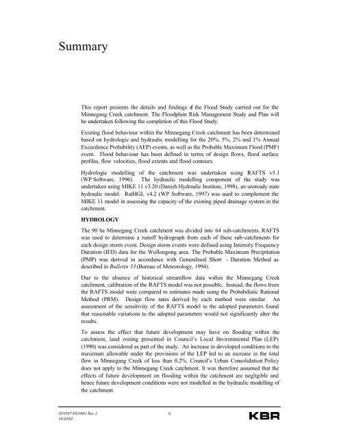
SummaryThis report presents the details and findings of the <strong>Flood</strong> <strong>Study</strong> carried out for the<strong>Minnegang</strong> <strong>Creek</strong> catchment. The <strong>Flood</strong>plain Risk Management <strong>Study</strong> and Plan willbe undertaken following the completion of this <strong>Flood</strong> <strong>Study</strong>.Existing flood behaviour within the <strong>Minnegang</strong> <strong>Creek</strong> catchment has been determinedbased on hydrologic and hydraulic modelling for the 20%, 5%, 2% and 1% AnnualExceedence Probability (AEP) events, as well as the Probable Maximum <strong>Flood</strong> (PMF)event. <strong>Flood</strong> behaviour has been defined in terms of design flows, flood surfaceprofiles, flow velocities, flood extents and flood contours.Hydrologic modelling of the catchment was undertaken using RAFTS v5.1(WP Software, 1996). The hydraulic modelling component of the study wasundertaken using MIKE 11 v3.20 (Danish Hydraulic Institute, 1998), an unsteady statehydraulic model. RatHGL v4.2 (WP Software, 1997) was used to complement theMIKE 11 model in assessing the capacity of the existing piped drainage system in thecatchment.HYDROLOGYThe 90 ha <strong>Minnegang</strong> <strong>Creek</strong> catchment was divided into 64 sub-catchments. RAFTSwas used to determine a runoff hydrograph from each of these sub-catchments foreach design storm event. Design storm events were defined using Intensity FrequencyDuration (IFD) data for the <strong>Wollongong</strong> area. The Probable Maximum Precipitation(PMP) was derived in accordance with Generalised Short - Duration Method asdescribed in Bulletin 53 (Bureau of Meteorology, 1994).Due to the absence of historical streamflow data within the <strong>Minnegang</strong> <strong>Creek</strong>catchment, calibration of the RAFTS model was not possible. Instead, the flows fromthe RAFTS model were compared to estimates made using the Probabilistic RationalMethod (PRM). Design flow rates derived by each method were similar. Anassessment of the sensitivity of the RAFTS model to the adopted parameters foundthat reasonable variations to the adopted parameters would not significantly alter theresults.To assess the effect that future development may have on flooding within thecatchment, land zoning presented in <strong>Council</strong>’s Local Environmental Plan (LEP)(1990) was considered as part of the study. An increase in developed conditions to themaximum allowable under the provisions of the LEP led to an increase in the totalflow in <strong>Minnegang</strong> <strong>Creek</strong> of less than 0.2%. <strong>Council</strong>’s Urban Consolidation Policydoes not apply to the <strong>Minnegang</strong> <strong>Creek</strong> catchment. It was therefore assumed that theeffects of future development on flooding within the catchment are negligible andhence future development conditions were not modelled in the hydraulic modelling ofthe catchment.SV8507-DO-001 Rev 218/10/02ii


