

federal register - U.S. Government Printing Office
federal register - U.S. Government Printing Office
federal register - U.S. Government Printing Office

Create successful ePaper yourself
Turn your PDF publications into a flip-book with our unique Google optimized e-Paper software.
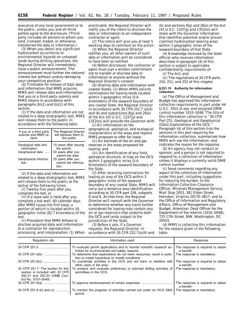
6158 Federal Register / Vol. 62, No. 28 / Tuesday, February 11, 1997 / Proposed Rulesexecutive of any local government or tothe public, unless you and all thirdparties agree to the disclosure. (Thirdparty includes all persons to whom yousold, licensed, traded, or otherwisetransferred the data or information.)(3) When you detect any significanthydrocarbon occurrences orenvironmental hazards on unleasedlands during drilling operations, theRegional Director will immediatelyissue a public announcement. Theannouncement must further the nationalinterest but without unduly damagingyour competitive position.(b) Timetable for release of G&G dataand information that MMS acquires.MMS will release data and informationthat you or a third party submits andMMS retains in accordance withparagraphs (b)(1) and (b)(2) of thissection.(1) If the data and information are notrelated to a deep stratigraphic test, MMSwill release them to the public inaccordance with the following table:If you or a third partysubmits and MMS retainsGeological data andinformation.Geophysical data ......Geophysical information.The Regional Directorwill disclose them tothe public10 years after issuingthe permit.50 years after yousubmit the data.25 years after yousubmit the information.(2) If the data and information arerelated to a deep stratigraphic test, MMSwill release them to the public at theearlier of the following times:(i) Twenty-five years after youcomplete the test; or(ii) If a lease sale is held after youcomplete a test well, 60 calendar daysafter MMS issues the first lease, aportion of which is located within 50geographic miles (92.7 kilometers) of thetest.(c) Procedure that MMS follows todisclose acquired data and informationto a contractor for reproduction,processing, and interpretation. (1) Whenpracticable, the Regional Director willnotify you of the intent to disclose thedata or information to an independentcontractor or agent.(2) The notice will give you at least 5working days to comment on the action.(3) When the Regional Directornotifies you, all other owners of suchdata or information will be consideredto have been so notified.(4) Before disclosure, the contractor oragent must sign a written commitmentnot to transfer or disclose data orinformation to anyone without theRegional Director’s consent.(d) Sharing data and information withcoastal States. (1) When MMS solicitsnominations for leasing lands locatedwithin 3 geographic miles (5.6kilometers) of the seaward boundary ofany coastal State, the Regional Directorin accordance with 30 CFR 252.7 (a)(4)and (b) and subsections 8(g) and 26(e)of the Act (43 U.S.C. 1337(g) and1352(e)) will provide the Governor with:(i) All information on thegeographical, geological, and ecologicalcharacteristics of the areas and regionsMMS proposes to offer for lease;(ii) An estimate of the oil and gasreserves in the areas proposed forleasing; and(iii) An identification of any field,geological structure, or trap on the OCSwithin 3 geographic miles (5.6kilometers) of the seaward boundary ofthe State.(2) After receiving nominations forleasing an area of the OCS within 3geographic miles of the seawardboundary of any coastal State, MMS willcarry out a tentative area identificationaccording to 30 CFR part 256, subpartsD and E. At that time, the RegionalDirector will consult with the Governorto determine whether any tracts furtherconsidered for leasing may contain anyoil or gas reservoirs that underlie boththe OCS and lands subject to thejurisdiction of the State.(3) Before a sale, if a Governorrequests, the Regional Director, inaccordance with 30 CFR 252.7(a)(4) and(b) and sections 8(g) and 26(e) of the Act(43 U.S.C. 1337(g) and 1352(e)) willshare with the Governor informationthat identifies potential and/or provencommon hydrocarbon bearing areaswithin 3 geographic miles of theseaward boundary of that State.(4) Knowledge received by the Stateofficial who receives informationdescribed in paragraph (d) of thissection is subject to applicableconfidentiality requirements of:(i) The Act; and(ii) The regulations at 30 CFR parts250, 251, and 252 of this chapter.§ 251.15 Authority for informationcollection.(a) The <strong>Office</strong> of Management andBudget has approved the informationcollection requirements in part under 44U.S.C. 3501 et seq. and assigned OMBcontrol number 1010–0048. The title ofthis information collection is ‘‘30 CFRPart 251, Geological and Geophysical(G&G) Explorations of the OCS.’’Paragraph (d) of this section lists thesections in this part requiring theinformation collection, summarizes howMMS will use the information, andindicates the reason for the response.(b) An agency may not conduct orsponsor, and a person is not required torespond to, a collection of informationunless it displays a currently valid OMBcontrol number.(c) Send comments regarding anyaspect of the collection of informationunder this part, including suggestionsfor reducing the burden, to theInformation Collection Clearance<strong>Office</strong>r, Minerals Management Service,Mail Stop 2053, 381 Elden Street,Herndon, Virginia 20170–4817; and tothe <strong>Office</strong> of Information and RegulatoryAffairs, <strong>Office</strong> of Management andBudget, Attention: Desk <strong>Office</strong>r for theDepartment of the Interior (1010–0048),725 17th Street, NW, Washington, DC20503.(d) MMS is collecting this informationfor the reasons given in the followingtable:Regulation cite Information used Response30 CFR 251.5 ................................. To evaluate permit applications and to monitor scientific research activitiesfor environmental and safety reasons.30 CFR 251.6(b) ............................ To determine that explorations do not harm resources, result in pollutionor create hazardous or unsafe conditions.30 CFR 251.6(c) ............................ To coordinate activities in the OCS and not harm or interfere withother users in the area.30 CFR 251.7: The burden for this To analyze and evaluate preliminary or planned drilling activities ofsection is included with 30 CFR permittees in the OCS.250.31 and 250.33 (OMB ControlNo. 1010–0049).The response is required to obtaina benefit.The response is mandatory.The response is required to obtaina benefit.The response is mandatory.30 CFR 251.8(a) ............................ To approve reimbursement of certain expenses ................................... The response is required to obtaina benefit.30 CFR 251.8 (b) and (c) .............. To monitor the progress of activities carried out under an OCS G&Gpermit.The response is mandatory.