The Soils of Elgin County - Agriculture and Agri-Food Canada
The Soils of Elgin County - Agriculture and Agri-Food Canada
The Soils of Elgin County - Agriculture and Agri-Food Canada
- No tags were found...
Create successful ePaper yourself
Turn your PDF publications into a flip-book with our unique Google optimized e-Paper software.
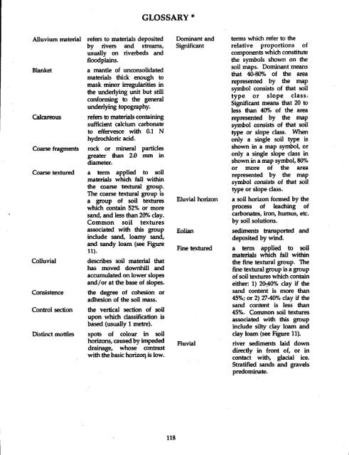
GLOSSARYAlluvium materialBlanketCalcareousCoarse fragmentsCoarse texturedColluvialConsistenceControl sectionDistinct mottlesrefers to materials depositedby rivers <strong>and</strong> streams,usually on riverbeds <strong>and</strong>floodplains .a mantle <strong>of</strong> unconsolidatedmaterials thick enough tomask minor irregularities inthe underlying unit but stillconforming to the generalunderlying topography.refers to materials containingsufficient calcium carbonateto effervesce with 0.1 Nhydrochloric acid .rock or mineral particlesgreater than 2.0 mm indiameter .a term applied to soilmaterials which fall withinthe coarse textural group .<strong>The</strong> coarse textural group isa group <strong>of</strong> soil textureswhich contain 52% or mores<strong>and</strong>, <strong>and</strong> less than 20% clay .Common soil texturesassociated with this groupinclude s<strong>and</strong>, loamy s<strong>and</strong>,<strong>and</strong> s<strong>and</strong>y loam (see Figure11).describes soil material thathas moved downhill <strong>and</strong>accumulated on lower slopes<strong>and</strong>/or at the base <strong>of</strong> slopes .the degree <strong>of</strong> cohesion oradhesion <strong>of</strong> the soil mass.the vertical section <strong>of</strong> soilupon which classification isbased (usually 1 metre) .spots <strong>of</strong> colour in soilhorizons, caused by impededdrainage, whose contrastwith the basic horizoq is low .Dominant <strong>and</strong>SignificantEluvial horizonEolianFine texturedFluvialterms which refer to therelative proportions <strong>of</strong>components which constitutethe symbols shown on thesoil maps . Dominant meansthat 40-80% <strong>of</strong> the arearepresented by the mapsymbol consists <strong>of</strong> that soiltype or slope class :Significant means that 20 toless than 40% <strong>of</strong> the arearepresented by the mapsymbol consists <strong>of</strong> that soiltype or slope class. Whenonly a single soil type isshown in a map symbol, oronly a single slope class inshown in amap symbol,80%or more <strong>of</strong> the arearepresented by the mapsymbol consists <strong>of</strong> that soiltype or slope class .a soil horizon formed by theprocess <strong>of</strong> leaching <strong>of</strong>carbonates, iron, humus, etc .by soil solutions.sediments transported <strong>and</strong>deposited by wind .a term applied to soilmaterials which fall withinthe fine textural group. <strong>The</strong>fine textural group is a group<strong>of</strong> soil textures which containeither: 1) 20-10% clay if thes<strong>and</strong> content is more than45%; or 2) 27-40% clay if thes<strong>and</strong> content is less than45%. Common soil texturesassociated with this groupinclude silty clay loam <strong>and</strong>clay loam (see Figure 11).river sediments laid downdirectly in front <strong>of</strong>, or . incontact with, glacial ice .Stratified s<strong>and</strong>s <strong>and</strong> gravelspredominate.


