

The Soils of Elgin County - Agriculture and Agri-Food Canada
The Soils of Elgin County - Agriculture and Agri-Food Canada
The Soils of Elgin County - Agriculture and Agri-Food Canada
- No tags were found...

You also want an ePaper? Increase the reach of your titles
YUMPU automatically turns print PDFs into web optimized ePapers that Google loves.
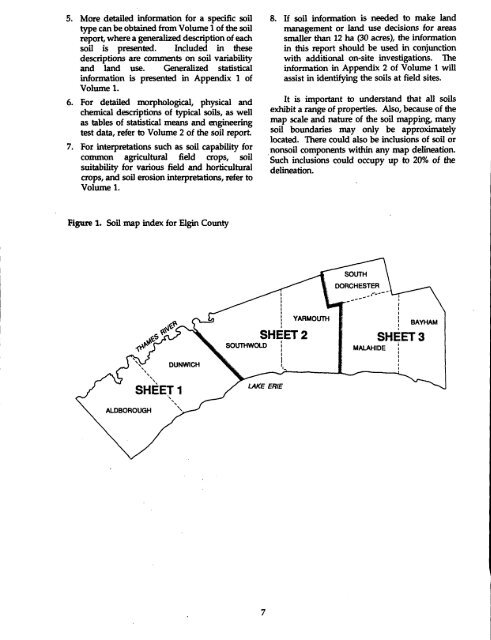
5. More detailed information for a specific soiltype can be obtained from Volume 1 <strong>of</strong> the soilreport, where a generalized description <strong>of</strong> eachsoil is presented. Included in thesedescriptions are comments on soil variability<strong>and</strong> l<strong>and</strong> use. Generalized statisticalinformation is presented in Appendix 1 <strong>of</strong>Volume 1 .6. For detailed morphological, physical <strong>and</strong>chemical descriptions <strong>of</strong> typical soils, as wellas tables <strong>of</strong> statistical means <strong>and</strong> engineeringtest data, refer to Volume 2 <strong>of</strong> the soil report.7 . For interpretations such as soil capability forcommon agricultural field crops, soilsuitability for various field <strong>and</strong> horticulturalcrops, <strong>and</strong> soil erosion interpretations, refer toVolume 1 .8. If soil information is needed to make l<strong>and</strong>management or l<strong>and</strong> use decisions for areassmaller than 12 ha (30 acres), the informationin this report should be used in conjunctionwith additional on-site investigations . <strong>The</strong>information in Appendix 2 <strong>of</strong> Volume 1 willassist in identifying the soils at field sites .It is important to underst<strong>and</strong> that all soilsexhibit a range <strong>of</strong> properties. Also, because <strong>of</strong> themap scale <strong>and</strong> nature <strong>of</strong> the soil mapping, manysoil boundaries may only be approximatelylocated . <strong>The</strong>re could also be inclusions <strong>of</strong> soil ornonsoil components within any map delineation .Such inclusions could occupy up to 20% <strong>of</strong> thedelineation.Figure 1.Soil map index for <strong>Elgin</strong> <strong>County</strong>SOUTHDORCHESTERJ X-1e5 Ps\'i.DUNWICHSHEET 2SOUTHWOLDYARMOUTHMALAHIDEBAYRAMSHEET 3ALDBOROUGHSHEET 1LAKE ERIE


