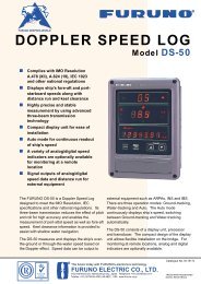
color gps plotter
color gps plotter
color gps plotter

You also want an ePaper? Increase the reach of your titles
YUMPU automatically turns print PDFs into web optimized ePapers that Google loves.
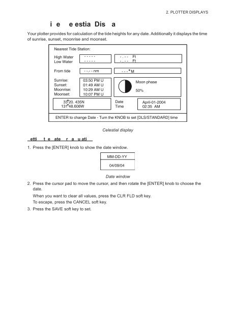
2. PLOTTER DISPLAYSi e e estia Dis aYour <strong>plotter</strong> provides for calculation of the tide heights for any date. Additionally it displays the timeof sunrise, sunset, moonrise and moonset.Nearest Tide Station:High WaterLow WaterFrom tideSunrise:Sunset:Moonrise:Moonset:- - - - -- - - - -- -.- - nm03:50 PM U01:49 AM U10:29 AM U10:07 PM U- . - - Ft- . - - Ft- - - MMoon phase50%33 20. 435N131 48.608WDateTimeApril-01-200402:35 AMENTER to change Date - Turn the KNOB to set [DLS/STANDARD] timeCelestial displayetti t e ate r a u ati1. Press the [ENTER] knob to show the date window.MM-DD-YY04/09/04Date window2. Press the cursor pad to move the cursor, and then rotate the [ENTER] knob to choose thedate.When you want to clear all values, press the CLR FLD soft key.To escape, press the CANCEL soft key.3. Press the SAVE soft key to set.