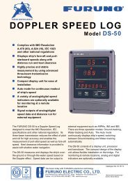
color gps plotter
color gps plotter
color gps plotter

Create successful ePaper yourself
Turn your PDF publications into a flip-book with our unique Google optimized e-Paper software.
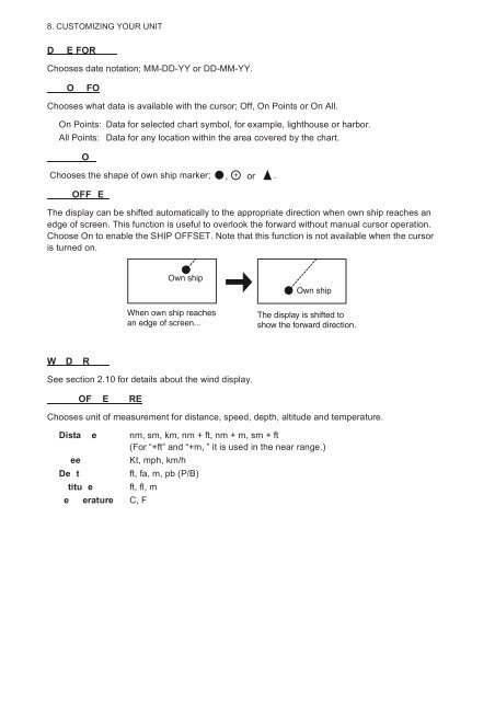
8. CUSTOMIZING YOUR UNITDE FORChooses date notation; MM-DD-YY or DD-MM-YY.OFOChooses what data is available with the cursor; Off, On Points or On All.On Points: Data for selected chart symbol, for example, lighthouse or harbor.All Points: Data for any location within the area covered by the chart.OChooses the shape of own ship marker; , + or .OFF EThe display can be shifted automatically to the appropriate direction when own ship reaches anedge of screen. This function is useful to overlook the forward without manual cursor operation.Choose On to enable the SHIP OFFSET. Note that this function is not available when the cursoris turned on.Own shipOwn shipWhen own ship reachesan edge of screen...The display is shifted toshow the forward direction.W D RSee section 2.10 for details about the wind display.OF E REChooses unit of measurement for distance, speed, depth, altitude and temperature.Dista e nm, sm, km, nm + ft, nm + m, sm + ft(For “+ft” and “+m, ” it is used in the near range.)eeKt, mph, km/hDe tft, fa, m, pb (P/B)titu e ft, fl, me erature C, F