New Bedford 2020 - VHB.com
New Bedford 2020 - VHB.com
New Bedford 2020 - VHB.com
- No tags were found...

You also want an ePaper? Increase the reach of your titles
YUMPU automatically turns print PDFs into web optimized ePapers that Google loves.
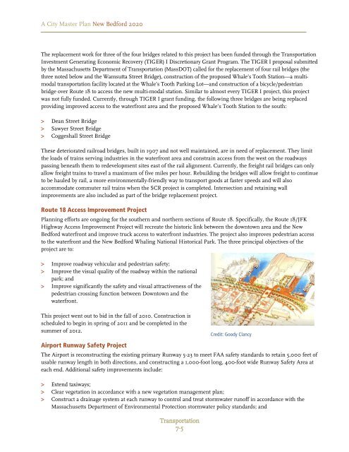
A City Master Plan <strong>New</strong> <strong>Bedford</strong> <strong>2020</strong>The replacement work for three of the four bridges related to this project has been funded through the TransportationInvestment Generating Economic Recovery (TIGER) I Discretionary Grant Program. The TIGER I proposal submittedby the Massachusetts Department of Transportation (MassDOT) called for the replacement of four rail bridges (thethree noted below and the Wamsutta Street Bridge), construction of the proposed Whale’s Tooth Station—a multimodaltransportation facility located at the Whale’s Tooth Parking Lot—and construction of a bicycle/pedestrianbridge over Route 18 to access the new multi-modal station. Similar to almost every TIGER I project, this projectwas not fully funded. Currently, through TIGER I grant funding, the following three bridges are being replacedproviding improved access to the waterfront area and the proposed Whale’s Tooth Station to the south:> Dean Street Bridge> Sawyer Street Bridge> Coggeshall Street BridgeThese deteriorated railroad bridges, built in 1907 and not well maintained, are in need of replacement. They limitthe loads of trains serving industries in the waterfront area and constrain access from the west on the roadwayspassing beneath them to redevelopment sites east of the rail alignment. Currently, the freight rail bridges can onlyallow freight trains to travel a maximum of five miles per hour. Rebuilding the bridges will allow freight to continueto be hauled by rail, a more environmentally-friendly way to transport goods at faster speeds and will alsoac<strong>com</strong>modate <strong>com</strong>muter rail trains when the SCR project is <strong>com</strong>pleted. Intersection and retaining wallimprovements are also included as part of the bridge replacement project.Route 18 Access Improvement ProjectPlanning efforts are ongoing for the southern and northern sections of Route 18. Specifically, the Route 18/JFKHighway Access Improvement Project will recreate the historic link between the downtown area and the <strong>New</strong><strong>Bedford</strong> waterfront and improve truck access to waterfront industries. The project also improves pedestrian accessto the waterfront and the <strong>New</strong> <strong>Bedford</strong> Whaling National Historical Park. The three principal objectives of theproject are to:> Improve roadway vehicular and pedestrian safety;> Improve the visual quality of the roadway within the nationalpark; and> Improve significantly the safety and visual attractiveness of thepedestrian crossing function between Downtown and thewaterfront.This project went out to bid in the fall of 2010. Construction isscheduled to begin in spring of 2011 and be <strong>com</strong>pleted in thesummer of 2012.Airport Runway Safety ProjectThe Airport is reconstructing the existing primary Runway 5-23 to meet FAA safety standards to retain 5,000 feet ofusable runway length in both directions, and constructing a 1,000-foot long, 400-foot wide Runway Safety Area ateach end. Additional safety improvements include:> Extend taxiways;> Clear vegetation in accordance with a new vegetation management plan;> Construct a drainage system at each runway to control and treat stormwater runoff in accordance with theMassachusetts Department of Environmental Protection stormwater policy standards; andTransportation7-5Credit: Goody Clancy