Introductory Exercises for GIS Using ArcMap & ArcCatalog
Introductory Exercises for GIS Using ArcMap & ArcCatalog
Introductory Exercises for GIS Using ArcMap & ArcCatalog

Create successful ePaper yourself
Turn your PDF publications into a flip-book with our unique Google optimized e-Paper software.
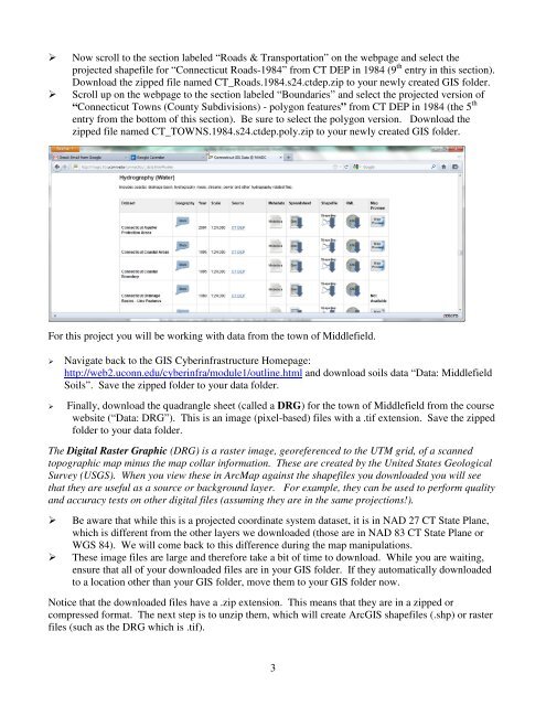
Now scroll to the section labeled “Roads & Transportation” on the webpage and select theprojected shapefile <strong>for</strong> “Connecticut Roads-1984” from CT DEP in 1984 (9 th entry in this section).Download the zipped file named CT_Roads.1984.s24.ctdep.zip to your newly created <strong>GIS</strong> folder.Scroll up on the webpage to the section labeled “Boundaries” and select the projected version of“Connecticut Towns (County Subdivisions) - polygon features” from CT DEP in 1984 (the 5 thentry from the bottom of this section). Be sure to select the polygon version. Download thezipped file named CT_TOWNS.1984.s24.ctdep.poly.zip to your newly created <strong>GIS</strong> folder.For this project you will be working with data from the town of Middlefield.Navigate back to the <strong>GIS</strong> Cyberinfrastructure Homepage:http://web2.uconn.edu/cyberinfra/module1/outline.html and download soils data “Data: MiddlefieldSoils”. Save the zipped folder to your data folder.Finally, download the quadrangle sheet (called a DRG) <strong>for</strong> the town of Middlefield from the coursewebsite (“Data: DRG”). This is an image (pixel-based) files with a .tif extension. Save the zippedfolder to your data folder.The Digital Raster Graphic (DRG) is a raster image, georeferenced to the UTM grid, of a scannedtopographic map minus the map collar in<strong>for</strong>mation. These are created by the United States GeologicalSurvey (USGS). When you view these in <strong>ArcMap</strong> against the shapefiles you downloaded you will seethat they are useful as a source or background layer. For example, they can be used to per<strong>for</strong>m qualityand accuracy tests on other digital files (assuming they are in the same projections!).Be aware that while this is a projected coordinate system dataset, it is in NAD 27 CT State Plane,which is different from the other layers we downloaded (those are in NAD 83 CT State Plane orWGS 84). We will come back to this difference during the map manipulations.These image files are large and there<strong>for</strong>e take a bit of time to download. While you are waiting,ensure that all of your downloaded files are in your <strong>GIS</strong> folder. If they automatically downloadedto a location other than your <strong>GIS</strong> folder, move them to your <strong>GIS</strong> folder now.Notice that the downloaded files have a .zip extension. This means that they are in a zipped orcompressed <strong>for</strong>mat. The next step is to unzip them, which will create Arc<strong>GIS</strong> shapefiles (.shp) or rasterfiles (such as the DRG which is .tif).3