

TERRA.vita - Lust auf Natur und Erdgeschichte

Create successful ePaper yourself
Turn your PDF publications into a flip-book with our unique Google optimized e-Paper software.
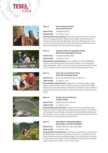
Route 13<br />
Bereich/Area:<br />
Länge/Length:<br />
R<strong>und</strong> um Stahl <strong>und</strong> Kohle<br />
Aro<strong>und</strong> Steel and Coal<br />
Georgsmarienhütte<br />
ca./approx. 29 km<br />
Besonderheiten/Characteristics: Kurze, aber anspruchsvolle Tour am Stadtrand<br />
von Georgsmarienhütte. Einige steile Anstiege <strong>und</strong> Gefällestrecken.<br />
Teilweise schlecht befestigte Waldwege./Short but challenging tour on the<br />
outskirts of Georgsmarienhütte. Several steep uphill and downhill sections.<br />
Partly on forest tracks with sub-standard road surfaces.<br />
Route 14<br />
Bereich/Area:<br />
Länge/Length:<br />
Schwarzes Gold in der Borgloher Schweiz<br />
Black Gold in the Borgloher Schweiz<br />
Georgsmarienhütte, Hilter<br />
ca./approx. 20 km<br />
Besonderheiten/Characteristics: Kurze, bergige Tour durch die Borgloher<br />
Schweiz. Routenführung meist <strong>auf</strong> schmalen Straßen, sonst <strong>auf</strong> gut befestigten<br />
Waldwegen./Short, mountainous tour through the Borgloher Schweiz.<br />
The route follows mostly narrow roads and well maintained forest tracks.<br />
Route 15 Sand, Salz <strong>und</strong> sonderbare Steine<br />
Sand, Salt and Strange Stones<br />
Bereich/Area: Bad Iburg, Bad Rothenfelde <strong>und</strong> Bad Laer<br />
Länge/Length: ca./approx. 41 km<br />
Besonderheiten/Characteristics: Ruhige Tour von mittlerer Länge, wenige<br />
längere, steile Anstiege, sonst recht flach. Besonders verkehrsarme Wegeführung,<br />
fast immer gut befestigt./Tranquil tour of medium length, rather flat<br />
except for a few long, steep ascents. Especially quiet roads, mostly well maintained.<br />
Route 16<br />
Bereich/Area:<br />
Länge/Length:<br />
Ein Blick über den Tellerrand<br />
A Deeper Insight<br />
Borgholzhausen <strong>und</strong> Dissen<br />
ca./approx. 40 km<br />
Besonderheiten/Characteristics: Anspruchsvolle Tour von mittlerer Länge.<br />
Einige sehr steile Anstiege, aber auch längere, ebene Strecken. Hoher Anteil<br />
an Forstwegen, bis <strong>auf</strong> wenige Ausnahmen recht gut befestigt./Challenging<br />
tour of medium length. Several very steep ascents and also long, flat sections.<br />
Much of the tour on well maintained forest tracks.<br />
Route 17<br />
Bereich/Area:<br />
Steile Kämme im Bielefelder Westen<br />
Steep Ridges in the West of Bielefeld<br />
Bielefeld, Werther, Halle, Steinhagen<br />
Länge/Length: ca./approx. 31 km<br />
Besonderheiten/Characteristics: Sehr anspruchsvolle Route an den Teutoburger-Wald-Kämmen<br />
westlich von Bielefeld. Viele kurze <strong>und</strong> mittlere steile Anstiege,<br />
teilweise <strong>auf</strong> wenig befestigten Wegen./Very challenging route along<br />
the Teutoburg Forest ridges in the west of Bielefeld. Many short and medium<br />
length, steep ascents, partly on sub-standard roads.