Climate Action 2010-2011

Create successful ePaper yourself
Turn your PDF publications into a flip-book with our unique Google optimized e-Paper software.
SPECIAL FEATURE | Esri<br />
<strong>Climate</strong> change is a geographic problem, and we believe solving it takes a<br />
geographic system<br />
A GIS-based framework for climate science gives us hope. With it we can gain a scientific understanding of earth’s<br />
complex systems at a truly global scale and make thoughtful, informed design decisions that ultimately allow humans<br />
and nature to coexist more harmoniously.<br />
Read about the many ways GIS is already being used for climate change research on our website and see how Esri<br />
works with organisations worldwide to create GIS applications that meet the climate change challenge.<br />
Visit www.esri.com/climatechange to receive your free e-book. Available e-book titles below:<br />
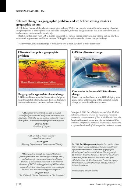
<strong>Climate</strong> change is a geographic<br />
problem<br />
GIS for climate change<br />
The geographic approach to climate change<br />
A GIS-based framework for climate science helps us<br />
make thoughtful, informed design decisions that allow<br />
humans and nature to coexist more harmoniously.<br />
Case studies in the use of GIS for climate<br />
change<br />
Eleven case studies illustrate how GIS is helping us to<br />
gain a better understanding of the impact of climate<br />
change on natural and human systems.<br />
“GIS provides Guyana with the tools it needs to<br />
scientifically measure and analyse our natural resources<br />
effectively. With GIS, we can support responsible resource<br />
management decisions that benefit generations to follow.”<br />
Bharrat Jagdeo<br />
President of Guyana<br />
Copyright © <strong>2010</strong> Esri. All rights reserved. Esri, The Esri<br />
globe logo, and www.esri.com are trademarks, registered<br />
trademarks, or service marks of Esri in the United States, the<br />
European Community, or certain other jurisdictions. Other<br />
companies and products mentioned herein may be trademarks<br />
or registered trademarks of their respective trademark owners.<br />
“GIS can help us become visionary<br />
rather than reactionary.”<br />
Chad Kopplin<br />
Wyoming Department of Environmental Quality<br />
“Monetary flow through the Reduced Emissions<br />
from Deforestation and Forest Degradation (REDD)<br />
mechanism to forest communities is slowed by the<br />
problems of unclear land ownership. A key factor in<br />
the success of REDD is the application of GIS to collate,<br />
map, and report forest carbon emission information to<br />
investors and international regulatory agencies.”<br />
Dr. James Baker<br />
The William J. Clinton Foundation, in ‘The Economist’<br />
In 1969, Jack Dangermond founded Esri with a vision<br />
that computer-based mapping and analysis could make<br />
significant contributions in the areas of geographic<br />
planning and environmental science. The recipient of<br />
10 honorary doctorate degrees, he has served on advisory<br />
committees for the National Aeronautics and Space<br />
Administration, the Environmental Protection Agency,<br />
the National Academy of Sciences, and the National<br />
Science Foundation.<br />
Website: www.esri.com/climate<br />
| 130 |<br />
www.climateactionprogramme.org