Issue 10 Volume 41 May 16, 2003
Issue 10 Volume 41 May 16, 2003
Issue 10 Volume 41 May 16, 2003
- TAGS
- volume
- 202.118.250.135
Create successful ePaper yourself
Turn your PDF publications into a flip-book with our unique Google optimized e-Paper software.
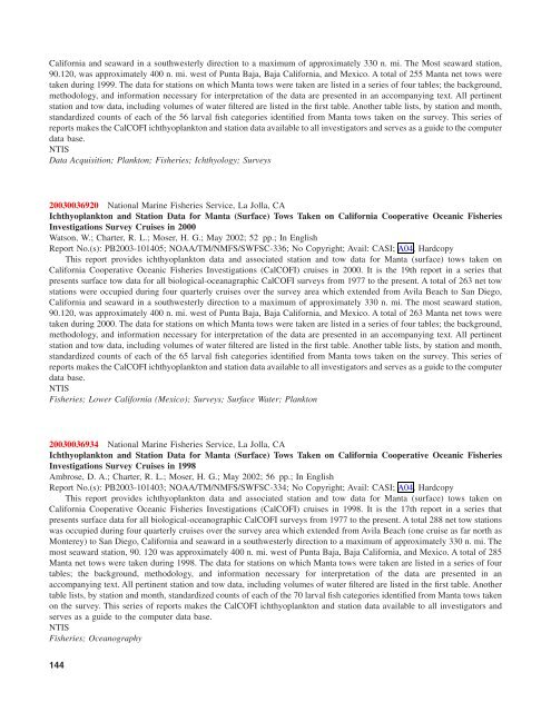
California and seaward in a southwesterly direction to a maximum of approximately 330 n. mi. The Most seaward station,<br />
90.120, was approximately 400 n. mi. west of Punta Baja, Baja California, and Mexico. A total of 255 Manta net tows were<br />
taken during 1999. The data for stations on which Manta tows were taken are listed in a series of four tables; the background,<br />
methodology, and information necessary for interpretation of the data are presented in an accompanying text. All pertinent<br />
station and tow data, including volumes of water filtered are listed in the first table. Another table lists, by station and month,<br />
standardized counts of each of the 56 larval fish categories identified from Manta tows taken on the survey. This series of<br />
reports makes the CalCOFI ichthyoplankton and station data available to all investigators and serves as a guide to the computer<br />
data base.<br />
NTIS<br />
Data Acquisition; Plankton; Fisheries; Ichthyology; Surveys<br />
<strong>2003</strong>0036920 National Marine Fisheries Service, La Jolla, CA<br />
Ichthyoplankton and Station Data for Manta (Surface) Tows Taken on California Cooperative Oceanic Fisheries<br />
Investigations Survey Cruises in 2000<br />
Watson, W.; Charter, R. L.; Moser, H. G.; <strong>May</strong> 2002; 52 pp.; In English<br />
Report No.(s): PB<strong>2003</strong>-<strong>10</strong>1405; NOAA/TM/NMFS/SWFSC-336; No Copyright; Avail: CASI; A04, Hardcopy<br />
This report provides ichthyoplankton data and associated station and tow data for Manta (surface) tows taken on<br />
California Cooperative Oceanic Fisheries Investigations (CalCOFI) cruises in 2000. It is the 19th report in a series that<br />
presents surface tow data for all biological-oceanagraphic CalCOFI surveys from 1977 to the present. A total of 263 net tow<br />
stations were occupied during four quarterly cruises over the survey area which extended from Avila Beach to San Diego,<br />
California and seaward in a southwesterly direction to a maximum of approximately 330 n. mi. The most seaward station,<br />
90.120, was approximately 400 n. mi. west of Punta Baja, Baja California, and Mexico. A total of 263 Manta net tows were<br />
taken during 2000. The data for stations on which Manta tows were taken are listed in a series of four tables; the background,<br />
methodology, and information necessary for interpretation of the data are presented in an accompanying text. All pertinent<br />
station and tow data, including volumes of water filtered are listed in the first table. Another table lists, by station and month,<br />
standardized counts of each of the 65 larval fish categories identified from Manta tows taken on the survey. This series of<br />
reports makes the CalCOFI ichthyoplankton and station data available to all investigators and serves as a guide to the computer<br />
data base.<br />
NTIS<br />
Fisheries; Lower California (Mexico); Surveys; Surface Water; Plankton<br />
<strong>2003</strong>0036934 National Marine Fisheries Service, La Jolla, CA<br />
Ichthyoplankton and Station Data for Manta (Surface) Tows Taken on California Cooperative Oceanic Fisheries<br />
Investigations Survey Cruises in 1998<br />
Ambrose, D. A.; Charter, R. L.; Moser, H. G.; <strong>May</strong> 2002; 56 pp.; In English<br />
Report No.(s): PB<strong>2003</strong>-<strong>10</strong>1403; NOAA/TM/NMFS/SWFSC-334; No Copyright; Avail: CASI; A04, Hardcopy<br />
This report provides ichthyoplankton data and associated station and tow data for Manta (surface) tows taken on<br />
California Cooperative Oceanic Fisheries Investigations (CalCOFI) cruises in 1998. It is the 17th report in a series that<br />
presents surface data for all biological-oceanographic CalCOFI surveys from 1977 to the present. A total 288 net tow stations<br />
was occupied during four quarterly cruises over the survey area which extended from Avila Beach (one cruise as far north as<br />
Monterey) to San Diego, California and seaward in a southwesterly direction to a maximum of approximately 330 n. mi. The<br />
most seaward station, 90. 120 was approximately 400 n. mi. west of Punta Baja, Baja California, and Mexico. A total of 285<br />
Manta net tows were taken during 1998. The data for stations on which Manta tows were taken are listed in a series of four<br />
tables; the background, methodology, and information necessary for interpretation of the data are presented in an<br />
accompanying text. All pertinent station and tow data, including volumes of water filtered are listed in the first table. Another<br />
table lists, by station and month, standardized counts of each of the 70 larval fish categories identified from Manta tows taken<br />
on the survey. This series of reports makes the CalCOFI ichthyoplankton and station data available to all investigators and<br />
serves as a guide to the computer data base.<br />
NTIS<br />
Fisheries; Oceanography<br />
144


