Final report - Integrated Land Management Bureau
Final report - Integrated Land Management Bureau
Final report - Integrated Land Management Bureau

You also want an ePaper? Increase the reach of your titles
YUMPU automatically turns print PDFs into web optimized ePapers that Google loves.
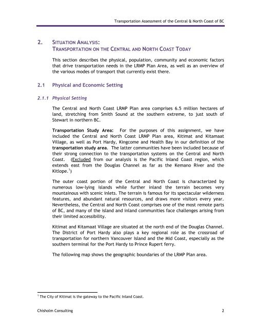
Transportation Assessment of the Central & North Coast of BC<br />
2. SITUATION ANALYSIS:<br />
TRANSPORTATION ON THE CENTRAL AND NORTH COAST TODAY<br />
This section describes the physical, population, community and economic factors<br />
that drive transportation needs in the LRMP Plan Area, as well as an overview of<br />
the various modes of transport that currently exist there.<br />
2.1 Physical and Economic Setting<br />
2.1.1 Physical Setting<br />
The Central and North Coast LRMP Plan area comprises 6.5 million hectares of<br />
land, stretching from Smith Sound at the southern extreme, to just south of<br />
Stewart in northern BC.<br />
Transportation Study Area: For the purposes of this assignment, we have<br />
included the Central and North Coast LRMP Plan area, Kitimat and Kitamaat<br />
Village, as well as Port Hardy, Kingcome and Health Bay in our definition of the<br />
transportation study area. The latter communities have been included because of<br />
their strong connection to the transportation systems on the Central and North<br />
Coast. (Excluded from our analysis is the Pacific Inland Coast region, which<br />
extends east from the Douglas Channel as far as the Kemano River and the<br />
Kitlope. 1 )<br />
The outer coast portion of the Central and North Coast is characterized by<br />
numerous low-lying islands while further inland the terrain becomes very<br />
mountainous with scenic inlets. The terrain is famous for its spectacular wilderness<br />
features, and abundant natural resources, and draws more visitors every year.<br />
Nevertheless, the Central and North Coast comprises one of the most remote parts<br />
of BC, and many of the island and inland communities face challenges arising from<br />
their limited accessibility.<br />
Kitimat and Kitamaat Village are situated at the north end of the Douglas Channel.<br />
The District of Port Hardy also plays a key regional role as the crossroad of<br />
transportation for northern Vancouver Island and the Mid Coast, especially as the<br />
southern terminal for the Port Hardy to Prince Rupert ferry.<br />
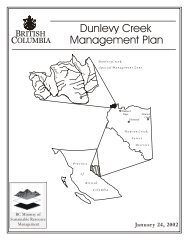
The following map shows the geographic boundaries of the LRMP Plan area.<br />
1 The City of Kitimat is the gateway to the Pacific Inland Coast.<br />
Chisholm Consulting 2