Contents - GANGAPEDIA
Contents - GANGAPEDIA
Contents - GANGAPEDIA

You also want an ePaper? Increase the reach of your titles
YUMPU automatically turns print PDFs into web optimized ePapers that Google loves.
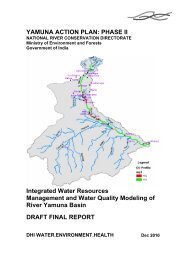
City Development Plan for Allahabad Final Report<br />
11.0 Roads and Transportation<br />
11.1<br />
Transportation<br />
System<br />
11.1.1 Road<br />
Network Details<br />
Transport infrastructure forms the backbone of any economy. It plays a very<br />
significant role in the growth and development of the city. It is also responsible,<br />
besides other factors, for the spatial growth of the city by increasing the<br />
accessibility of sites on the periphery of the city.<br />
The objective of studying the transport sector is to analyze the role of transport in<br />
the present scenario and to identify its strengths and weaknesses. The road and<br />
the rail sectors play a very significant role in Allahabad and the peripheral region.<br />
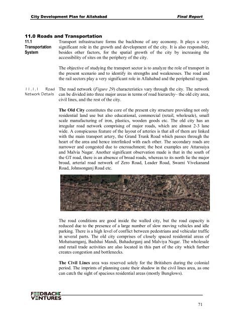
The road network (Figure 29) characteristics vary through the city. The network<br />
can be divided into three major areas in terms of road hierarchy– the old city area,<br />
civil lines, and the rest of the city.<br />
The Old City constitutes the core of the present city structure providing not only<br />
residential land use but also educational, commercial (retail, wholesale), small<br />
scale manufacturing of iron, plastics, wooden goods etc. The old city has an<br />
irregular road network comprising of major roads, which are almost 2-3 lane<br />
wide. A conspicuous feature of the layout of arteries is that all of them are linked<br />
with the main transport artery, the Grand Trunk Road which passes through the<br />
heart of the area and hence interlinked with each other. The secondary roads are<br />
narrower and congested due to encroachment; the best examples are Attarsuiya<br />
and Malvia Nagar. Another significant observation made is that in the south of<br />
the GT road, there is an absence of broad roads, whereas to its north lie the major<br />
broad, arterial road network of Zero Road, Leader Road, Swami Vivekanand<br />
Road, Johnsonganj Road etc.<br />
The road conditions are good inside the walled city, but the road capacity is<br />
reduced due to the presence of a large number of slow moving vehicles and idle<br />
parking. There is a high level of conflict between pedestrians and vehicular traffic<br />
in several parts. The old city comprises of closely spaced residential areas of<br />
Mohatsamganj, Badshai Mandi, Bahadurganj and Malviya Nagar. The wholesale<br />
and retail trade activities are also located in this part of the city which further<br />
creates congestion and bottlenecks.<br />
The Civil Lines area was reserved solely for the Britishers during the colonial<br />
period. The imprints of planning caste their shadow in the civil lines area, as one<br />
can catch the sight of spacious residential areas (mostly Bunglows).<br />
71