Moose River Basin: geology and mineral potential - Geology Ontario
Moose River Basin: geology and mineral potential - Geology Ontario
Moose River Basin: geology and mineral potential - Geology Ontario
You also want an ePaper? Increase the reach of your titles
YUMPU automatically turns print PDFs into web optimized ePapers that Google loves.
<strong>Moose</strong> <strong>River</strong> <strong>Basin</strong><br />
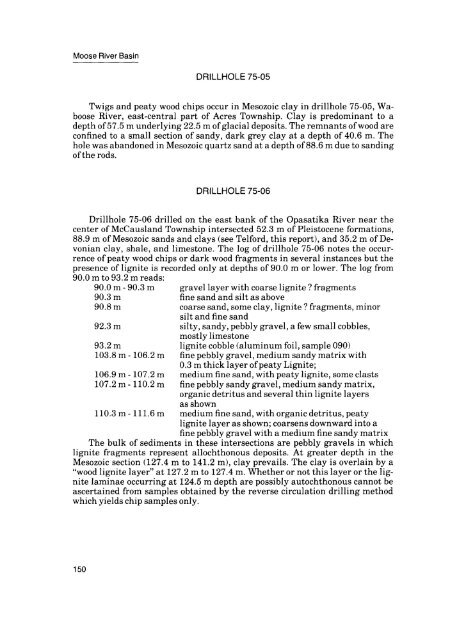
DRILLHOLE 75-05<br />
Twigs <strong>and</strong> peaty wood chips occur in Mesozoic clay in drillhole 75-05, Waboose<br />
<strong>River</strong>, east-central part of Acres Township. Clay is predominant to a<br />
depth of 57.5 m underlying 22.5 m of glacial deposits. The remnants of wood are<br />
confined to a small section of s<strong>and</strong>y, dark grey clay at a depth of 40.6 m. The<br />
hole was ab<strong>and</strong>oned in Mesozoic quartz s<strong>and</strong> at a depth of 88.6 m due to s<strong>and</strong>ing<br />
of the rods.<br />
DRILLHOLE 75-06<br />
Drillhole 75-06 drilled on the east bank of the Opasatika <strong>River</strong> near the<br />
center of McCausl<strong>and</strong> Township intersected 52.3 m of Pleistocene formations,<br />
88.9 m of Mesozoic s<strong>and</strong>s <strong>and</strong> clays (see Telford, this report), <strong>and</strong> 35.2 m of De<br />
vonian clay, shale, <strong>and</strong> limestone. The log of drillhole 75-06 notes the occur<br />
rence of peaty wood chips or dark wood fragments in several instances but the<br />
presence of lignite is recorded only at depths of 90.0 m or lower. The log from<br />
90.0 m to 93.2 m reads:<br />
90.0 m - 90.3 m gravel layer with coarse lignite ? fragments<br />
90.3 m fine s<strong>and</strong> <strong>and</strong> silt as above<br />
90.8 m coarse s<strong>and</strong>, some clay, lignite ? fragments, minor<br />
silt <strong>and</strong> fine s<strong>and</strong><br />
92.3 m silty, s<strong>and</strong>y, pebbly gravel, a few small cobbles,<br />
mostly limestone<br />
93.2 m lignite cobble (aluminum foil, sample 090)<br />
103.8 m -106.2 m fine pebbly gravel, medium s<strong>and</strong>y matrix with<br />
0.3 m thick layer of peaty Lignite;<br />
106.9 m -107.2 m medium fine s<strong>and</strong>, with peaty lignite, some clasts<br />
107.2 m -110.2 m fine pebbly s<strong>and</strong>y gravel, medium s<strong>and</strong>y matrix,<br />
organic detritus <strong>and</strong> several thin lignite layers<br />
as shown<br />
110.3 m -111.6 m medium fine s<strong>and</strong>, with organic detritus, peaty<br />
lignite layer as shown; coarsens downward into a<br />
fine pebbly gravel with a medium fine s<strong>and</strong>y matrix<br />
The bulk of sediments in these intersections are pebbly gravels in which<br />
lignite fragments represent allochthonous deposits. At greater depth in the<br />
Mesozoic section (127.4 m to 141.2 m), clay prevails. The clay is overlain by a<br />
"wood lignite layer" at 127.2 m to 127.4 m. Whether or not this layer or the lig<br />
nite laminae occurring at 124.5 m depth are possibly autochthonous cannot be<br />
ascertained from samples obtained by the reverse circulation drilling method<br />
which yields chip samples only.<br />
150


