Moose River Basin: geology and mineral potential - Geology Ontario
Moose River Basin: geology and mineral potential - Geology Ontario
Moose River Basin: geology and mineral potential - Geology Ontario
You also want an ePaper? Increase the reach of your titles
YUMPU automatically turns print PDFs into web optimized ePapers that Google loves.
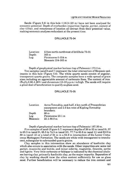
Lignite <strong>and</strong> Industrial Mineral Resources<br />
S<strong>and</strong>s (Figure 5.6) in this hole (116.3-123 m) have not been analysed for<br />
economic <strong>potential</strong>. Depth of overburden impurities (lignite, pyrite), content of<br />
clay (illite), <strong>and</strong> remoteness of location all detract from their <strong>potential</strong> value,<br />
making economic analyses redundant at the present time.<br />
DRILLHOLE 75-04<br />
Location: 13 km north-northwest of drillhole 75-01<br />
Depth: 165 m<br />
Log: Pleistocene 0-154 m<br />
Mesozoic 154-165 m<br />
Depth of geophysical marker horizon (top of Paleozoic) 173.5 m.<br />
Two samples (s<strong>and</strong> 6 <strong>and</strong> 7) represent the total intersection of Mesozoic sed<br />
iments in this hole (Figure 5.6). The white quartz s<strong>and</strong>s consist of angular,<br />
transparent quartz grains. The composite samples have a wide spread of grain<br />
sizes including an appreciable amount of carbonate fines. The content of iron<br />
(Fe2O3:0.80-1.20*26) <strong>and</strong> chromium (10-18 p.p.m.) is high. The s<strong>and</strong>s will require<br />
a great deal of beneficiation to qualify as glass s<strong>and</strong>.<br />
DRILLHOLE 75-05<br />
Location<br />
Depth<br />
Log<br />
Mesozoic<br />
Acres Township, east half, 4 km north of Precambrian<br />
escarpment <strong>and</strong> 2.5 km west of Kipling Township<br />
boundary.<br />
88 m<br />
Pleistocene23.ini<br />
23.l-88.0 m<br />
Depth of geophysical marker horizon (top of Paleozoic) 167.50 m.<br />
Five samples of s<strong>and</strong> (Figure 5.7) represent depths of 26 to 32 m (s<strong>and</strong> 8), 57<br />
to 65.5 m (s<strong>and</strong> 9), 65.5 to 74.5 m (s<strong>and</strong> 10), 77.7 to 83.8 m (s<strong>and</strong> 11) <strong>and</strong> 83.8 to<br />
88 m (s<strong>and</strong> 12) or a total of 34 m in a 64.9 m intersection of the Lower Creta<br />
ceous Mattagami Formation. The s<strong>and</strong>s are white with transparent to translu<br />
cent, subangular to subrounded quartz grains.<br />
Clay samples in this intersection show an abundance of kaolinitic clay<br />
which also occurs in association with the s<strong>and</strong>s. Other impurities are: some red<br />
garnet, muscovite <strong>and</strong> biotite, <strong>and</strong> minor siderite, magnetite, ilmenite, pyrite<br />
<strong>and</strong> lignite. Very little carbonate or feldspar is indicated by the chemical analy<br />
ses leaving clay, primarily kaolinitic clay, as the major impurity. Separation of<br />
clay by washing should raise the silica content sufficiently for use as glass<br />
s<strong>and</strong>. Further beneficiation will be necessary to reduce the iron content <strong>and</strong><br />
161


