Preston Township Wayne County - Shepstone Management Company
Preston Township Wayne County - Shepstone Management Company
Preston Township Wayne County - Shepstone Management Company
You also want an ePaper? Increase the reach of your titles
YUMPU automatically turns print PDFs into web optimized ePapers that Google loves.
<strong>Preston</strong> <strong>Township</strong>, <strong>Wayne</strong> <strong>County</strong><br />
Subdivision and Land Development Ordinance<br />
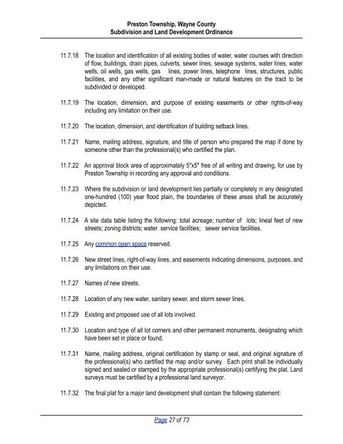
11.7.18 The location and identification of all existing bodies of water, water courses with direction<br />
of flow, buildings, drain pipes, culverts, sewer lines, sewage systems, water lines, water<br />
wells, oil wells, gas wells, gas lines, power lines, telephone lines, structures, public<br />
facilities, and any other significant man-made or natural features on the tract to be<br />
subdivided or developed.<br />
11.7.19 The location, dimension, and purpose of existing easements or other rights-of-way<br />
including any limitation on their use.<br />
11.7.20 The location, dimension, and identification of building setback lines.<br />
11.7.21 Name, mailing address, signature, and title of person who prepared the map if done by<br />
someone other than the professional(s) who certified the plan.<br />
11.7.22 An approval block area of approximately 5"x5" free of all writing and drawing, for use by<br />
<strong>Preston</strong> <strong>Township</strong> in recording any approval and conditions.<br />
11.7.23 Where the subdivision or land development lies partially or completely in any designated<br />
one-hundred (100) year flood plain, the boundaries of these areas shall be accurately<br />
depicted.<br />
11.7.24 A site data table listing the following: total acreage; number of lots; lineal feet of new<br />
streets; zoning districts; water service facilities; sewer service facilities.<br />
11.7.25 Any common open space reserved.<br />
11.7.26 New street lines, right-of-way lines, and easements indicating dimensions, purposes, and<br />
any limitations on their use.<br />
11.7.27 Names of new streets.<br />
11.7.28 Location of any new water, sanitary sewer, and storm sewer lines.<br />
11.7.29 Existing and proposed use of all lots involved.<br />
11.7.30 Location and type of all lot corners and other permanent monuments, designating which<br />
have been set in place or found.<br />
11.7.31 Name, mailing address, original certification by stamp or seal, and original signature of<br />
the professional(s) who certified the map and/or survey. Each print shall be individually<br />
signed and sealed or stamped by the appropriate professional(s) certifying the plat. Land<br />
surveys must be certified by a professional land surveyor.<br />
11.7.32 The final plat for a major land development shall contain the following statement:<br />
Page 27 of 73


