

E book Field Guide.indd - Gold Country
E book Field Guide.indd - Gold Country
E book Field Guide.indd - Gold Country

Create successful ePaper yourself
Turn your PDF publications into a flip-book with our unique Google optimized e-Paper software.
The Hudson Bay Company Brigade Trail from Kamloops<br />
to Fort Alexandria followed this route and other variations<br />
until 1858 when a ferry was established at Savona.<br />
The last brigade took place in 1862. After that a route<br />
was established along approximately the same route<br />
as the Trans Canada Highway, along the south shore to<br />
Savona, then overland to the Cariboo Wagon Road.<br />
After the Hudson Bay company route was no longer<br />
used, the old brigade trails were sometimes used by<br />
miners heading to gold fields and by cattle drivers. Over<br />
time, sections have been turned into roads, railway<br />
beds, or have become part of private lands. There are<br />
traces of the trail here and there, but it is rare today for<br />
someone to travel over this entire route by foot or on<br />
horseback.<br />
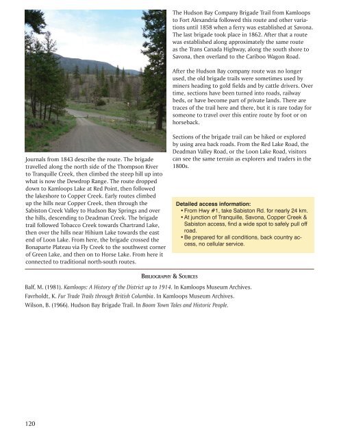
Journals from 1843 describe the route. The brigade<br />
travelled along the north side of the Thompson River<br />
to Tranquille Creek, then climbed the steep hill up into<br />
what is now the Dewdrop Range. The route dropped<br />
down to Kamloops Lake at Red Point, then followed<br />
the lakeshore to Copper Creek. Early routes climbed<br />
up the hills near Copper Creek, then through the<br />
Sabiston Creek Valley to Hudson Bay Springs and over<br />
the hills, descending to Deadman Creek. The brigade<br />
trail followed Tobacco Creek towards Chartrand Lake,<br />
then over the hills near Hihium Lake towards the east<br />
end of Loon Lake. From here, the brigade crossed the<br />
Bonaparte Plateau via Fly Creek to the southwest corner<br />
of Green Lake, and then on to Horse Lake. From here it<br />
connected to traditional north-south routes.<br />
Sections of the brigade trail can be hiked or explored<br />
by using area back roads. From the Red Lake Road, the<br />
Deadman Valley Road, or the Loon Lake Road, visitors<br />
can see the same terrain as explorers and traders in the<br />
1800s.<br />
Detailed access information:<br />
• From Hwy #1, take Sabiston Rd. for nearly 24 km.<br />
• At junction of Tranquille, Savona, Copper Creek &<br />
Sabiston access, find a wide spot to safely pull off<br />
road.<br />
• Be prepared for all conditions, back country access,<br />
no cellular service.<br />
BIBLIOGRAPHY & SOURCES<br />
Balf, M. (1981). Kamloops: A History of the District up to 1914. In Kamloops Museum Archives.<br />
Favrholdt, K. Fur Trade Trails through British Columbia. In Kamloops Museum Archives.<br />
Wilson, B. (1966). Hudson Bay Brigade Trail. In Boom Town Tales and Historic People.<br />
120


