

E book Field Guide.indd - Gold Country
E book Field Guide.indd - Gold Country
E book Field Guide.indd - Gold Country

Create successful ePaper yourself
Turn your PDF publications into a flip-book with our unique Google optimized e-Paper software.
SITE #060402<br />
GC1TQ25<br />
GRAVESITES & MYSTICAL PLACES<br />
Lytton Cemetery<br />
Written & Researched by Angela Wynton<br />
Nearest Community:<br />
Location/Parking:<br />
Geocache Location:<br />
Accuracy:<br />
Letterboxing Clues:<br />
SITE IDENTIFICATION<br />
UTM:<br />
Lytton, V0K 1Z0<br />
N 50°13.351’<br />
W 121°34.549’<br />
N 50°13.252’<br />
W 121°34.477’<br />
5 meters<br />
Refer to letterboxing<br />
clues page<br />
East 0601682;<br />
North 5564160 10U<br />
289 m./947 ft.<br />
1<br />
1.5<br />
Geocache altitude:<br />
Overall difficulty:<br />
Terrain difficulty:<br />
(1=easiest; 5=hardest)<br />
1876<br />
Village of Lytton<br />
Date Established:<br />
Ownership:<br />
Access:<br />
• Highway<br />
• Year-round<br />
• Vehicle accessible<br />
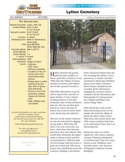
• Located on Hwy #1<br />
across from Kumsheen<br />
Secondary<br />
School.<br />
• Please park in visitor<br />
parking area and<br />
stay clear of graveyard<br />
entrances.<br />
• Cache is not in the<br />
graveyard, please<br />
respect all interred<br />
here.<br />
• High visibility area,<br />
use stealth.<br />
For more information or to report a problem<br />
with this site please contact:<br />
<strong>Gold</strong> <strong>Country</strong> Communities Society<br />
P.O. Box 933 Cache Creek, B.C. V0K 1H0<br />
Tel: 1-877-453-9467<br />
email: info@exploregoldcountry.com<br />
For more site pages go to:<br />
www.goldtrail.com or<br />
www.GeoTourismCanada.com<br />
Apply Sticker<br />
Here<br />
Hidden beneath tall grasses,<br />
amid the pine needles, existed<br />
a gold mine of history. It was<br />
1986 when the Village of Lytton<br />
decided to uncover and explore<br />
one of their greatest treasures.<br />
With little information to go by<br />
and no map of the cemetery or<br />
grave markers, it was a matter<br />
of mining history in the dark.<br />
Sometimes that is what archaeologists<br />
do, they lay out their grid<br />
system to ensure accuracy of<br />
points and record an entire block<br />
to be slowly dug and explored.<br />
However, at the Lytton Cemetery<br />
no one was interested in digging<br />
up any graves. What they did<br />
want to do was reveal who was<br />
there, when they were interred<br />
and where they were placed. This<br />
would allow historians the opportunity<br />
to dig up stories and lore<br />
on local pioneers. With the help<br />
of Exton Dodge Land Surveyors, a<br />
grid was created and 160 survey<br />
points were established across the<br />
cemetery, dividing it into blocks.<br />
Many volunteers helped clear the<br />
site revealing the markers. Every<br />
gravestone or marker was then<br />
examined in detail and individual<br />
photos were taken. Volunteer<br />
Marie Heaster deciphered and<br />
recorded all the information,<br />
mapping the cemetery and its<br />
residents. All the information and<br />
photographs for each gravesite<br />
was collated and filed in the<br />
Lytton Village office.<br />
What did all this work reveal?<br />
Many interesting stories on the<br />
people who built the village of<br />
Lytton lay above today’s town.<br />
What does 2nd century Rome and<br />
19th century northern Italy have<br />
to do with Lytton? Now, that is an<br />
interesting tale.<br />
During the reign of a rather<br />
oppressive 2nd century emperor,<br />
a group of Romans immigrated<br />
to northern Italy. They were soon<br />
known as the ‘rebellious ones’<br />
and their name, over the years<br />
of linguistic evolution, became<br />
Rebagliati.<br />
81


