E book Field Guide.indd - Gold Country
E book Field Guide.indd - Gold Country
E book Field Guide.indd - Gold Country
Create successful ePaper yourself
Turn your PDF publications into a flip-book with our unique Google optimized e-Paper software.
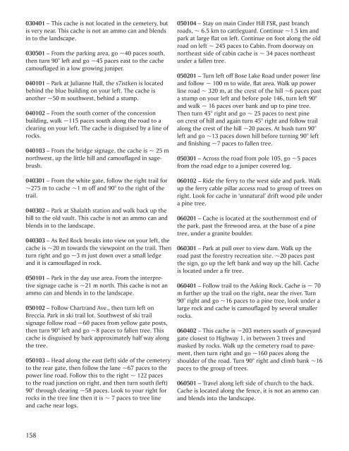
030401 – This cache is not located in the cemetery, but<br />
is very near. This cache is not an ammo can and blends<br />
in to the landscape.<br />
030501 – From the parking area, go ~40 paces south,<br />
then turn 90° left and go ~45 paces east to the cache<br />
camouflaged in a low growing juniper.<br />
040101 – Park at Julianne Hall, the s7istken is located<br />
behind the blue building on your left. The cache is<br />
another ~50 m southwest, behind a stump.<br />
040102 – From the south corner of the concession<br />
building, walk ~115 paces south along the road to a<br />
clearing on your left. The cache is disguised by a line of<br />
rocks.<br />
040103 – From the bridge signage, the cache is ~ 25 m<br />
northwest, up the little hill and camouflaged in sagebrush.<br />
040301 – From the white gate, follow the right trail for<br />
~275 m to cache ~1 m off and 90° to the right of the<br />
trail.<br />
040302 – Park at Shalalth station and walk back up the<br />
hill to the old vault. This cache is not an ammo can and<br />
blends in to the landscape.<br />
040303 – As Red Rock breaks into view on your left, the<br />
cache is ~20 m towards the viewpoint on the trail. Then<br />
turn right and go ~3 m just down over a small ledge<br />
and it is camouflaged in rock.<br />
050101 – Park in the day use area. From the interpretive<br />
signage cache is ~21 m north. This cache is not an<br />
ammo can and blends in to the landscape.<br />
050102 – Follow Chartrand Ave., then turn left on<br />
Breccia. Park in ski trail lot. Southwest of ski trail<br />
signage follow road ~60 paces from yellow gate posts,<br />
then turn 90° left and go ~8 paces to fallen tree. This<br />
cache is disguised by bark approximately half way along<br />
the tree.<br />
050103 – Head along the east (left) side of the cemetery<br />
to the rear gate, then follow the lane ~67 paces to the<br />
power line road. Follow this to the right ~ 122 paces<br />
to the road junction on right, and then turn south (left)<br />
90° through clearing ~58 paces. Look to your right for<br />
rocks in the tree line then it is ~ 7 paces to tree line<br />
and cache near logs.<br />
050104 – Stay on main Cinder Hill FSR, past branch<br />
roads, ~ 6.5 km to cattleguard. Continue ~1.5 km and<br />
park at large flat on left. Continue on foot along the old<br />
road on left ~ 245 paces to Cabin. From doorway on<br />
northeast side of cabin cache is ~ 34 paces northeast<br />
under a fallen tree.<br />
050201 – Turn left off Bose Lake Road under power line<br />
and follow ~ 100 m to wide, flat area. Walk up power<br />
line road ~ 320 m, at the crest of the hill ~6 paces past<br />
a stump on your left and before pole 146, turn left 90°<br />
and walk ~ 16 paces over bank and up to pine tree.<br />
Then turn 45° right and go ~ 25 paces to next pine<br />
on crest of hill and again turn 45° right and follow trail<br />
along the crest of the hill ~20 paces. At bush turn 90°<br />
left and go ~13 paces down hill before turning 90° left<br />
and finishing ~7 paces to fallen tree.<br />
050301 – Across the road from pole 105, go ~5 paces<br />
from the road edge to a juniper covered log.<br />
060102 – Ride the ferry to the west side and park. Walk<br />
up the ferry cable pillar access road to group of trees on<br />
right. Look for cache in ‘unnatural’ drift wood pile under<br />
a pine tree.<br />
060201 – Cache is located at the southernmost end of<br />
the park, past the firewood area, at the base of a pine<br />
tree, under a granite boulder.<br />
060301 – Park at pull over to view dam. Walk up the<br />
road past the forestry recreation site. ~20 paces past<br />
the sign, go up the left bank and way up the hill. Cache<br />
is located under a fir tree.<br />
060401 – Follow trail to the Asking Rock. Cache is ~ 70<br />
m further up the trail on the right, near the river. Turn<br />
90° right and go ~16 paces to a pine tree, look under a<br />
large rock and cache is camouflaged by several smaller<br />
rocks.<br />
060402 – This cache is ~203 meters south of graveyard<br />
gate closest to Highway 1, in between 3 trees and<br />
masked by rocks. Walk up the cemetery road to pavement,<br />
then turn right and go ~160 paces along the<br />
shoulder of the road. Turn 90° right and climb bank ~16<br />
paces to the group of trees.<br />
060501 – Travel along left side of church to the back.<br />
Cache is located along the fence, it is not an ammo can<br />
and blends into the landscape.<br />
158


