- Page 1: Weeki Wachee River System Recommend
- Page 4 and 5: Conversion Table Metric to U.S. Cus
- Page 6 and 7: 5.2 FISH ..........................
- Page 8 and 9: Figure 3-2 Location of Bathymetric
- Page 10 and 11: LIST OF TABLES Table 1-1 Rule-of-Th
- Page 12 and 13: Table 8-1 Summary of Weeki Wachee M
- Page 14 and 15: Executive Summary Minimum Flows and
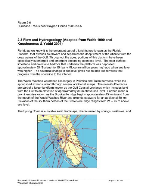
- Page 16 and 17: CHAPTER 1 - PURPOSE & BACKGROUND OF
- Page 18 and 19: 1) flood flows that determine the b
- Page 20 and 21: the area." What constitutes "signif
- Page 22 and 23: Table 1-1 Rule-of-Thumb Estimates f
- Page 24 and 25: this report identifies specific res
- Page 26 and 27: 1.6 Content of Remaining Chapters I
- Page 28 and 29: CHAPTER 2 - WATERSHED CHARACTERISTI
- Page 30 and 31: # # # circular vent 1.8 meters in d
- Page 32 and 33: Figure 2-5 1970s Aerial with 1999 U
- Page 34 and 35: is a variation of the Seminole word
- Page 38 and 39: varied by period. The variation was
- Page 40 and 41: 2.3.2 Baseline Period Figure 2-10 i
- Page 42 and 43: found (ktau p=0.06) between total g
- Page 44 and 45: similarly across the springsheds ex
- Page 46 and 47: Figure 2-15 Wavelet Filtered Discha
- Page 48 and 49: Figure 2-16 INTB Groundwater Model
- Page 50 and 51: 2.6 Seasonal Blocks As described in
- Page 52 and 53: Table 2-6 Median (cfs) Flow by Bloc
- Page 54 and 55: # # # Surface waters in this stretc
- Page 56 and 57: 3.1.3 Segmentation Segmentation was
- Page 58 and 59: Figure 3-5 Dominant SAV and Median
- Page 60 and 61: Figure 3-6 Sediment Characteristics
- Page 62 and 63: Figure 3-7 Shoreline / Buffer Veget
- Page 64 and 65: CHAPTER 4 - TIDE, SALINITY & WATER
- Page 66 and 67: Two additional harmonic pairs were
- Page 68 and 69: Figure 4-5. Median Bottom Salinity
- Page 70 and 71: Figure 4-7 Salinity Range (1984-200
- Page 72 and 73: uncovering in response to strong wi
- Page 74 and 75: E) Salinity = β o + β 1 *Flow 2 +
- Page 76 and 77: Additional exploratory attempts usi
- Page 78 and 79: 86 = 186 cfs, SWFWMD 1994-96 = 167
- Page 80 and 81: A regression of the form below was
- Page 82 and 83: Table 4-8 Median Water Quality of W
- Page 84 and 85: Figure 4-10 Nitrate Concentration a
- Page 86 and 87:
CHAPTER 5 - BIOLOGICAL CHARACTERIST
- Page 88 and 89:
Figure 5-1 Principal Component Anal
- Page 90 and 91:
measured volume sampled which was t
- Page 92 and 93:
5.2.2 Relation to inflow Response t
- Page 94 and 95:
Table 5-7 Location Response (km u )
- Page 96 and 97:
Table 5-9 Abundance Response to Inf
- Page 98 and 99:
animals can survive chronic exposur
- Page 100 and 101:
Figure 5-3 Number of Aerial Manatee
- Page 102 and 103:
Figure 5-5(a) Molluscan Presence /
- Page 104 and 105:
Table 5-11 Rank Order of Mollusc Ab
- Page 106 and 107:
Figure 5-5 Polymesoda caroliniana A
- Page 108 and 109:
Figure 6-1 Plankton Tow Flows Compa
- Page 110 and 111:
In application, a baseline area and
- Page 112 and 113:
6.1.4 Benthos Protection for benthi
- Page 114 and 115:
Figure 6-3. Location of the Three P
- Page 116 and 117:
7.2 Manatee Approach Establishing a
- Page 118 and 119:
Figure 7-2 Joint Probability of Occ
- Page 120 and 121:
Figure 7-3 Maximum Day Manatee Usag
- Page 122 and 123:
Figure 7- 6 Example Calculations fo
- Page 124 and 125:
Figure 7- 7 Estimation of Flow Redu
- Page 126 and 127:
Figure 7-8. Summary Results for the
- Page 128 and 129:
The reductions in flow that meet th
- Page 130 and 131:
probably accounts in part for the d
- Page 132 and 133:
Postel, S. and B.Richter. 2003. Riv
- Page 134 and 135:
Stanford, J.A., J.V.Ward, W.J. Liss
- Page 136 and 137:
Culter, J.K. 1986. Water Chemistry.
- Page 138 and 139:
CHAPTER 10 - APPENDICES 10.1 Append
- Page 140 and 141:
The wavelet used is the symmlets wa
- Page 142 and 143:
explains, the energy plot shows the
- Page 144 and 145:
0 if no significant withdrawal Z =
- Page 146 and 147:
One advantage of using this regress
- Page 148 and 149:
Technical Memorandum January 22, 20
- Page 150 and 151:
Lecanto 1 & 2 #S Well Site Descript
- Page 152 and 153:
Figure 4. HSPF subbasins in the INT
- Page 154 and 155:
Most of the limestone mines located
- Page 156 and 157:
3.1.3 Septic Tank Recharge in the S
- Page 158 and 159:
Figure 10. Groundwater grid in the
- Page 160 and 161:
Basso, R.J., 2004, Hydrogeologic Se
- Page 162 and 163:
10.2 Appendices - Chapter 3 Appendi
- Page 164 and 165:
10.3 Appendices - Chapter 4 Appendi
- Page 166 and 167:
Appendix 4-2 Data Sources Water qua
- Page 168 and 169:
Appendix 4-3 Water Quality Trend Gr
- Page 170 and 171:
Water Quality Trend Graphics, conti
- Page 172 and 173:
Water Quality Trend Graphics, conti
- Page 174 and 175:
Water Quality Trend Graphics, conti
- Page 176 and 177:
Water Quality Trend Graphics, conti
- Page 178 and 179:
Water Quality Trend Graphics, conti
- Page 180 and 181:
United States Department of the Int
- Page 182 and 183:
October 8,2008 Florida Fish and Wil
- Page 184 and 185:
Martin Kelly, Ph.D. Page 3 October
- Page 186 and 187:
Scientific Peer Review of the Propo
- Page 188 and 189:
Determining a low flow need during
- Page 190 and 191:
Current state water policy, as expr
- Page 192 and 193:
Spring, Twin Dees Spring and possib
- Page 194 and 195:
under varying flow regimes. The fir
- Page 196 and 197:
Weeki Wachee Rainfall, Springflow a
- Page 198 and 199:
6.0 Discharge:Precipitation (cfs/in
- Page 200 and 201:
Nevertheless, a major concern with
- Page 202 and 203:
system grid is not totally orthogon
- Page 204 and 205:
In a hydrodynamic model study, one
- Page 206 and 207:
analysis was rather cursory. The Di
- Page 208 and 209:
(taxa) richness in the WWRS. If the
- Page 210 and 211:
Freshwater Habitats Approximately 1
- Page 212 and 213:
ERRATA and EDITORIAL COMMENTS Page
- Page 214 and 215:
Page Paragraph Line Comment 14 Some
- Page 216 and 217:
Page Paragraph Line Comment 21 The
- Page 218 and 219:
Page Paragraph Line Comment 26 The
- Page 220 and 221:
REFERENCES Alber, M. 2002. A Concep
- Page 222 and 223:
Richter, B. D., J. V. Baumgartner,
- Page 224 and 225:
the regression equation used to pre
- Page 226 and 227:
and the three independent approache
- Page 228 and 229:
The Southwest Florida Water Managem
- Page 230 and 231:
the model in terms of tides, salini
- Page 232 and 233:
Attachment 1 - Comparison of salini
- Page 234 and 235:
Figure 1. Predicted drawdown (feet)