

Watershed Management Plan - Mason County
Watershed Management Plan - Mason County
Watershed Management Plan - Mason County

You also want an ePaper? Increase the reach of your titles
YUMPU automatically turns print PDFs into web optimized ePapers that Google loves.
Sub-basin Summaries<br />
Appendix<br />
A<br />
Appendix A.<br />
Sub-basin Summaries<br />
This appendix presents the “state of the sub-basin” – a summary of the<br />
existing science – for each of WRIA 16’s six sub-basins. Information in<br />
this appendix helped inform the “State of the <strong>Watershed</strong>” chapter (Chapter<br />
2) as well as the key issues to be addressed for water quantity, water quality,<br />
and habitat.<br />
The sub-basins addressed in this chapter include:<br />
• Dosewallips<br />
• Duckabush<br />
• Hamma Hamma<br />
• Finch/Lilliwaup<br />
• Skokomish (including the North Fork, South Fork, and mainstem);<br />
and<br />
• South Shore.<br />
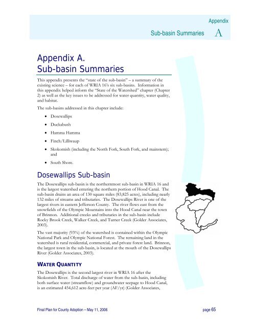
Dosewallips Sub-basin<br />
The Dosewallips sub-basin is the northernmost sub-basin in WRIA 16 and<br />
is the largest watershed entering the northern portion of Hood Canal. The<br />
sub-basin drains an area of 130 square miles (83,825 acres), including nearly<br />
132 miles of streams and tributaries. The Dosewallips River is one of the<br />
largest rivers in eastern Jefferson <strong>County</strong>. The river flows east from the<br />
snowfields of the Olympic Mountains into the Hood Canal near the town<br />
of Brinnon. Additional creeks and tributaries in the sub-basin include<br />
Rocky Brook Creek, Walker Creek, and Turner Creek (Golder Associates,<br />
2003).<br />
The vast majority (93%) of the watershed is contained within the Olympic<br />
National Park and Olympic National Forest. The remaining land in the<br />
watershed is rural residential, commercial, and private forest land. Brinnon,<br />
the largest town in the sub-basin, is located at the mouth of the Dosewallips<br />
River (Golder Associates, 2003).<br />
WATER QUANTITY<br />
The Dosewallips is the second largest river in WRIA 16 after the<br />
Skokomish River. Total discharge of water from the sub-basin, including<br />
both surface water (streamflow) and groundwater seepage to Hood Canal,<br />
is an estimated 454,612 acre-feet per year (AF/yr) (Golder Associates,<br />
Final <strong>Plan</strong> for <strong>County</strong> Adoption – May 11, 2006 page 65


