

Watershed Management Plan - Mason County
Watershed Management Plan - Mason County
Watershed Management Plan - Mason County

You also want an ePaper? Increase the reach of your titles
YUMPU automatically turns print PDFs into web optimized ePapers that Google loves.
Sub-basin Summaries<br />
Appendix<br />
A<br />
South Shore Sub-basin<br />
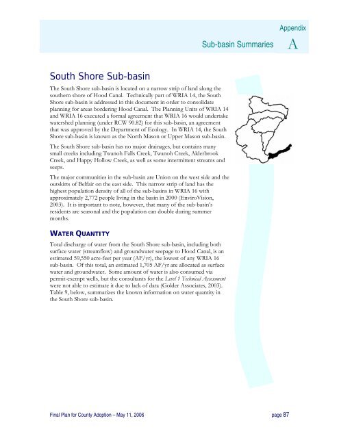
The South Shore sub-basin is located on a narrow strip of land along the<br />
southern shore of Hood Canal. Technically part of WRIA 14, the South<br />
Shore sub-basin is addressed in this document in order to consolidate<br />
planning for areas bordering Hood Canal. The <strong>Plan</strong>ning Units of WRIA 14<br />
and WRIA 16 executed a formal agreement that WRIA 16 would undertake<br />
watershed planning (under RCW 90.82) for this sub-basin, an agreement<br />
that was approved by the Department of Ecology. In WRIA 14, the South<br />
Shore sub-basin is known as the North <strong>Mason</strong> or Upper <strong>Mason</strong> sub-basin.<br />
The South Shore sub-basin has no major drainages, but contains many<br />
small creeks including Twanoh Falls Creek, Twanoh Creek, Alderbrook<br />
Creek, and Happy Hollow Creek, as well as some intermittent streams and<br />
seeps.<br />
The major communities in the sub-basin are Union on the west side and the<br />
outskirts of Belfair on the east side. This narrow strip of land has the<br />
highest population density of all of the sub-basins in WRIA 16 with<br />
approximately 2,772 people living in the basin in 2000 (EnviroVision,<br />
2003). It is important to note, however, that many of the sub-basin’s<br />
residents are seasonal and the population can double during summer<br />
months.<br />
WATER QUANTITY<br />
Total discharge of water from the South Shore sub-basin, including both<br />
surface water (streamflow) and groundwater seepage to Hood Canal, is an<br />
estimated 59,550 acre-feet per year (AF/yr), the lowest of any WRIA 16<br />
sub-basin. Of this total, an estimated 1,705 AF/yr are allocated as surface<br />
water and groundwater. Some amount of water is also consumed via<br />
permit-exempt wells, but the consultants for the Level 1 Technical Assessment<br />
were not able to estimate it due to lack of data (Golder Associates, 2003).<br />
Table 9, below, summarizes the known information on water quantity in<br />
the South Shore sub-basin.<br />
Final <strong>Plan</strong> for <strong>County</strong> Adoption – May 11, 2006 page 87


