

Watershed Management Plan - Mason County
Watershed Management Plan - Mason County
Watershed Management Plan - Mason County

Create successful ePaper yourself
Turn your PDF publications into a flip-book with our unique Google optimized e-Paper software.
Appendix<br />
A Sub-basin Summaries<br />
Hamma Hamma Sub-basin<br />
The Hamma Hamma sub-basin is centrally located in WRIA 16, covers<br />
117.5 square miles, and is comprised of 74.1 miles of extensive tributary<br />
drainages and several alpine lakes. The vast majority (95%) of the sub-basin<br />
is within the Olympic National Forest and Olympic National Park. Landuse<br />
in the remaining 5% of the watershed is agricultural and residential and<br />
is concentrated along the lower reaches of the Hamma Hamma River and<br />
along Hood Canal. The population in the sub-basin (300 in 2000) is<br />
concentrated in the town of Eldon located near the mouth of the Hamma<br />
Hamma River (Golder Associates, 2003).<br />
The Hamma Hamma River is the largest stream in the sub-basin. Several<br />
smaller creeks and tributaries flow through the sub-basin, including<br />
McDonald Creek, Fulton Creek, Schaerer Creek, Waketickeh Creek, Johns<br />
Creek, and an unnamed tributary to Hood Canal (Golder Associates, 2003).<br />
WATER QUANTITY<br />
Total discharge of water from the Hamma<br />
Hamma River sub-basin, including both<br />
surface water (streamflow) and groundwater<br />
seepage to Hood Canal, is an estimated<br />
470,069 acre-feet per year (AF/yr). Of this<br />
total, an estimated 689 AF/yr are allocated<br />
as surface water and groundwater. A small<br />
amount of water is also consumed via<br />
permit-exempt wells, but the consultants<br />
for the Technical Assessment were not able<br />
to estimate it due to lack of data (Golder<br />
Associates, 2003).<br />
Table 6 summarizes the known information<br />
on water quantity in the Hamma Hamma<br />
sub-basin.<br />
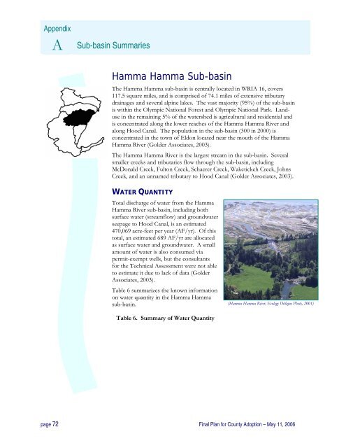
(Hamma Hamma River, Ecology Oblique Photo, 2001)<br />
Table 6. Summary of Water Quantity<br />
page 72 Final <strong>Plan</strong> for <strong>County</strong> Adoption – May 11, 2006


