IMProVe 2011 - Proceedings
IMProVe 2011 - Proceedings
IMProVe 2011 - Proceedings
You also want an ePaper? Increase the reach of your titles
YUMPU automatically turns print PDFs into web optimized ePapers that Google loves.
Surveying, Mapping and GIS Techniques<br />
Discussion & Conclusion:<br />
This paper intends to provide a simple, consultable tool that can efficiently and easily<br />
produce the information required to support the design options specifically analysed and<br />
integrated in the system.<br />
Keywords: GIS, environmental transformations, digital representation, cycle paths<br />
Corresponding Author: Barbara Messina<br />
Tel.: +3989963465<br />
Fax.:+3989964045<br />
e-mail: bmessina@unisa.it<br />
Address: Dip. Ing. Civile, via Ponte don Melillo, 84084 Fisciano (SA)<br />
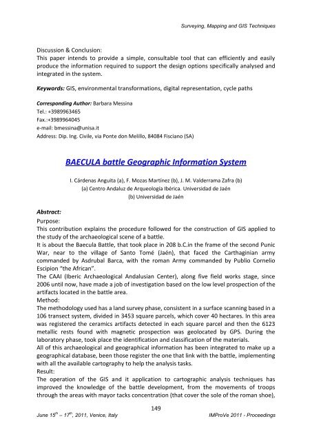
BAECULA battle Geographic Information System<br />
I. Cárdenas Anguita (a), F. Mozas Martínez (b), J. M. Valderrama Zafra (b)<br />
(a) Centro Andaluz de Arqueología Ibérica. Universidad de Jaén<br />
(b) Universidad de Jaén<br />
Abstract:<br />
Purpose:<br />
This contribution explains the procedure followed for the construction of GIS applied to<br />
the study of the archaeological scene of a battle.<br />
It is about the Baecula Battle, that took place in 208 b.C.in the frame of the second Punic<br />
War, near to the village of Santo Tomé (Jaén), that faced the Carthaginian army<br />
commanded by Asdrubal Barca, with the roman Army commanded by Publio Cornelio<br />
Escipion “the African”.<br />
The CAAI (Iberic Archaeological Andalusian Center), along five field works stage, since<br />
2006 until now, have made a job of investigation based on the low level prospection of the<br />
artifacts located in the battle area.<br />
Method:<br />
The methodology used has a land survey phase, consistent in a surface scanning based in a<br />
106 transect system, divided in 3453 square parcels, which cover 40 hectares. In this area<br />
was registered the ceramics artifacts detected in each square parcel and then the 6123<br />
metallic rests found with magnetic prospection was geolocated by GPS. During the<br />
laboratory phase, took place the identification and classification of the materials.<br />
All of this archaeological and geographical information has been integrated to make up a<br />
geographical database, been those register the one that link with the battle, implementing<br />
with all the available cartography to help the analysis tasks.<br />
Result:<br />
The operation of the GIS and it application to cartographic analysis techniques has<br />
improved the knowledge of the battle development, from the movements of troops<br />
through the areas with mayor tacks concentration (that cover the sole of the roman shoe),<br />
June 15 th – 17 th , <strong>2011</strong>, Venice, Italy<br />
149<br />
<strong>IMProVe</strong> <strong>2011</strong> - <strong>Proceedings</strong>


