Fremantle Port Inner Harbour and Channel ... - Fremantle Ports
Fremantle Port Inner Harbour and Channel ... - Fremantle Ports
Fremantle Port Inner Harbour and Channel ... - Fremantle Ports
- No tags were found...
You also want an ePaper? Increase the reach of your titles
YUMPU automatically turns print PDFs into web optimized ePapers that Google loves.
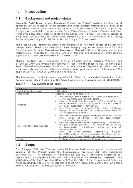
1. Introduction1.1 Background <strong>and</strong> project status<strong>Fremantle</strong> <strong>Port</strong>s’ <strong>Inner</strong> <strong>Harbour</strong> Deepening Project (the Project) involved the dredging ofapproximately 3.1 million m 3 of consolidated <strong>and</strong> unconsolidated material <strong>and</strong> its disposal atan offshore spoil disposal area or its reuse in l<strong>and</strong> reclamation (Table 1.1, Figure 1.1).Dredging was undertaken to deepen the Deep Water <strong>Channel</strong>, Entrance <strong>Channel</strong> <strong>and</strong> <strong>Inner</strong><strong>Harbour</strong> to allow larger ships to utilise the <strong>Fremantle</strong> <strong>Inner</strong> <strong>Harbour</strong>. An area of seabed atRous Head has also been reclaimed using dredged material. A combination of a TrailingSuction Hopper Dredge (TSHD) Cutter Suction Dredge (CSD) was used.The dredging <strong>and</strong> reclamation works were undertaken in two main phases <strong>and</strong> a backhoedredge (BHD). Phase 1 involved an 11-week dredging program to remove s<strong>and</strong> from the<strong>Inner</strong> <strong>Harbour</strong>, Entrance <strong>Channel</strong> <strong>and</strong> Deep Water <strong>Channel</strong>, with all of the s<strong>and</strong> placed intoreclamation at Rous Head. This initial phase of dredging <strong>and</strong> reclamation commenced on6 January 2010 <strong>and</strong> was completed on 21 March 2010.Phase 2 dredging was undertaken over a 12-week period between 9 August <strong>and</strong>31 October 2010 <strong>and</strong> involved the removal of rock from the <strong>Inner</strong> <strong>Harbour</strong> <strong>and</strong> the DeepWater <strong>Channel</strong> <strong>and</strong> placement of this rock into the Offshore Disposal Area. Minor backhoeworks were also carried out within <strong>Inner</strong> <strong>Harbour</strong> berth pockets between 13 December 2010<strong>and</strong> 7 January 2010 <strong>and</strong> 25 March <strong>and</strong> 12 April 2011.The key elements of the Project are provided in Table 1.1. A detailed description of theProposal is provided in Section 2 of the Public Environmental Review document (SKM 2009).Table 1.1 Key elements of the ProjectElementConstruction of a sea wallReclamationDredgingRelocation of dredged materialsDescription1000 m longApproximately 27 ha at Rous Head <strong>Inner</strong> <strong>Harbour</strong>, from a depth of RL –13.0 m to a depth of RL -15.0 m Low Water Mark <strong>Fremantle</strong> (LWMF). Entrance <strong>Channel</strong> from depths of RL -13.2 m to -13.4 m todepths between RL -16.0 m (LWMF) <strong>and</strong> RL -16.8 m (LWMF) toprovide adequate depth for turning ships. Deep Water <strong>Channel</strong> to a depth of RL -16.5 m (LWMF) onstraight sections <strong>and</strong> RL -18.0 m (LWMF) on bends, within anarea of approximately 169 ha. From the <strong>Inner</strong> <strong>Harbour</strong> (approximately 0.9 million m 3 ) <strong>and</strong> theinner section of Entrance <strong>Channel</strong> (approximately1.1 million m 3 ) to Rous Head. From the Deep Water <strong>Channel</strong> (approximately 1.1 million m 3 )to a proposed spoil ground located at Gage Roads (placementof approximately 1.45 million m 3 within an area ofapproximately 150 ha). From the <strong>Inner</strong> <strong>Harbour</strong> approximately 4,200 m 3(i.e. 0.0042 million m 3 ) of consolidated limestone will beexcavated <strong>and</strong> disposed of within the <strong>Inner</strong> <strong>Harbour</strong>.Timing Dredging of dredging works up to 30 weeks in aggregate1.2 ScopeOn 18 August 2009, the West Australian Minister for Environment granted environmentalapproval of the Project under the Environmental Protection Act 1986 (MinisterialStatement 801). In fulfilment of Conditions 4.1 <strong>and</strong> 4.2 of Ministerial Statement 801(Appendix A), a Compliance Assessment Plan (CAP) (Oceanica 2010a) was prepared to thesatisfaction of the Chief Executive Officer (CEO) of the Office of the Environmental ProtectionAuthority (OEPA), with a letter of acceptance of the CAP received 18 March 2010. An agreedaudit table comprises the key component of the CAP.Oceanica: <strong>Fremantle</strong> <strong>Port</strong>s: <strong>Fremantle</strong> <strong>Port</strong> <strong>Inner</strong> <strong>Harbour</strong> <strong>and</strong> <strong>Channel</strong> Deepening, Compliance Assessment Report 2012 1


