Fremantle Port Inner Harbour and Channel ... - Fremantle Ports
Fremantle Port Inner Harbour and Channel ... - Fremantle Ports
Fremantle Port Inner Harbour and Channel ... - Fremantle Ports
- No tags were found...
You also want an ePaper? Increase the reach of your titles
YUMPU automatically turns print PDFs into web optimized ePapers that Google loves.
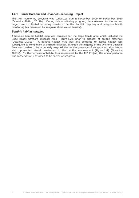
1.4.1 <strong>Inner</strong> <strong>Harbour</strong> <strong>and</strong> <strong>Channel</strong> Deepening ProjectThe IHD monitoring program was conducted during December 2009 to December 2010(Oceanica 2010b, 2011b). During this monitoring program, data relevant to the currentproject were collected including results of benthic habitat mapping <strong>and</strong> seagrass healthmonitoring (as measured by seagrass shoot count density).Benthic habitat mappingA baseline benthic habitat map was compiled for the Gage Roads area which included theGage Roads Offshore Disposal Area (Figure 1.2), prior to disposal of dredge materials(Oceanica 2010a). A benthic habitat map was also compiled to assess habitat losssubsequent to completion of offshore disposal, although the majority of the Offshore DisposalArea was unable to be accurately mapped due to the presence of an apparent algal bloomwhich prevented visual penetration to the benthic environment (Figure 1.4) (Oceanica2011b). For the purposes of habitat loss assessment for the IHD Project, this unmapped areawas conservatively assumed to be barren of seagrass.6 Oceanica: <strong>Fremantle</strong> <strong>Port</strong>s: FP – Gage Roads Offshore Disposal Area Seagrass Recovery Project, Phase I – Initial Survey


