World Air Ops | NAT | Doc 007 MNPS Guidance
World Air Ops | NAT | Doc 007 MNPS Guidance
World Air Ops | NAT | Doc 007 MNPS Guidance
Create successful ePaper yourself
Turn your PDF publications into a flip-book with our unique Google optimized e-Paper software.
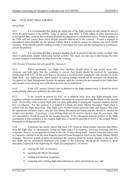
<strong>Guidance</strong> concerning <strong>Air</strong> Navigation in and above the <strong>NAT</strong> <strong>MNPS</strong>A CHAPTER 88.4 IN FLIGHT PROCEDURESInitial flight8.4.1 It is recommended that during the initial part of the flight, ground navaids should be used toverify the performance of the LRNSs. Large or unusual ‘map shifts’ in FMS output, or other discrepanciesin navigation data, could be due to inertial platform misalignment or initialisation errors. Position updates tothe FMS will not correct these errors despite possible indications to the contrary. If such a situation isencountered when INS/IRS are the primary LRNSs then it would be unwise to continue into <strong>NAT</strong> <strong>MNPS</strong><strong>Air</strong>space. Pilots should consider landing in order to investigate the cause and then perhaps be in a position tocorrect the problem.8.4.2 It is recommended that a compass heading check be presented and the results recorded. Thischeck is particularly helpful when using inertial systems. The check can also aid in determining the mostaccurate compass if a problem develops later in the crossing.ATC Oceanic Clearance and subsequent Re-clearances8.4.3 Where practicable, two flight crew members should listen to and record every ATCclearance and both agree that the recording is correct. Any doubt should be resolved by requestingclarification from ATC. In the event that a re-clearance is received when temporarily only one pilot is on theflight deck. Any flight profile, mach number or routing changes should not be executed, nor should theNavigation or Flight Management Systems be updated, until the second pilot has returned to the Flight Deckand a proper cross-checking and verification process can be undertaken.8.4.4 If the ATC oceanic cleared route is identical to the flight planned track, it should be drawnon the plotting chart and verified by the other pilot.8.4.5 If the aircraft is cleared by ATC on a different track from that flight planned, someregulators strongly recommend that a new Master <strong>Doc</strong>ument be prepared showing the details of the clearedtrack. Overwriting of the existing flight plan can cause difficulties in reading the waypoint numbers and thenew co-ordinates. For this purpose, it is helpful if a blank pro-forma Master <strong>Doc</strong>ument (flight plan) iscarried with the flight documents. One flight crew member should transcribe track and distance data fromthe appropriate reference source onto the new Master <strong>Doc</strong>ument pro-forma and this should be checked byanother crew member. If necessary, a new plotting chart may be used on which to draw the new track. Thenew document(s) should be used for the oceanic crossing. If the subsequent domestic portion of the flightcorresponds to that contained in the original flight plan, it should be possible to revert to the original Master<strong>Doc</strong>ument at the appropriate point.8.4.6 Experience has clearly shown that when ATC issues an initial oceanic clearance that differsfrom the flight plan, or subsequently during the flight issues a re-clearance involving re-routing and newwaypoints, there is a consequential increase in the risk of errors being made. Indeed errors associated withre-clearances continue to be the most frequent cause of Gross Navigation Errors in the North Atlantic <strong>MNPS</strong><strong>Air</strong>space. Therefore, in both of these circumstances the situation should be treated virtually as the start of anew flight and the procedures employed with respect to the following, should all be identical to thoseprocedures employed at the beginning of a flight (see paragraph 8.3.18 above):a) copying the ATC re-clearance;b) amending the Master <strong>Doc</strong>ument;c) loading and checking waypoints;d) extracting and verifying flight plan information, tracks and distances, etc.; and<strong>NAT</strong> <strong>Doc</strong> <strong>007</strong> 53 Edition 2010


