Appendix - Peak District National Park Authority
Appendix - Peak District National Park Authority
Appendix - Peak District National Park Authority
You also want an ePaper? Increase the reach of your titles
YUMPU automatically turns print PDFs into web optimized ePapers that Google loves.
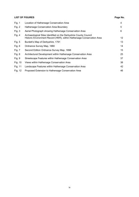
LIST OF FIGURESPage No.Fig. 1 Location of Hathersage Conservation Area 4Fig. 2 Hathersage Conservation Area Boundary 5Fig. 3 Aerial Photograph showing Hathersage Conservation Area 6Fig. 4Archaeological Sites Identified on the Derbyshire County CouncilHistoric Environment Record (HER), within Hathersage Conservation Area 12Fig. 5 Burdett’s Map of Derbyshire, 1791 13Fig. 6 Ordnance Survey Map, 1880 14Fig. 7 Second Edition Ordnance Survey Map, 1898 15Fig. 8 Architectural Development within Hathersage Conservation Area 25Fig. 9 Streetscape Features within Hathersage Conservation Area 37Fig. 10 Views within Hathersage Conservation Area 38Fig. 11 Landscape Features within Hathersage Conservation Area 42Fig. 12 Proposed Extension to Hathersage Conservation Area 46iv


