Appendix - Peak District National Park Authority
Appendix - Peak District National Park Authority
Appendix - Peak District National Park Authority

You also want an ePaper? Increase the reach of your titles
YUMPU automatically turns print PDFs into web optimized ePapers that Google loves.
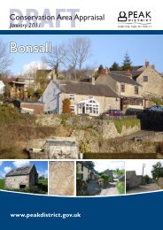
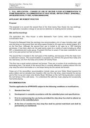
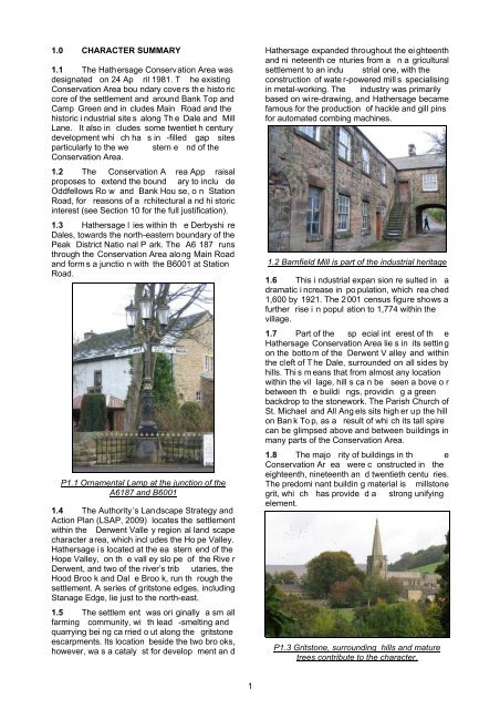
1.0 CHARACTER SUMMARY1.1 The Hathersage Conservation Area wasdesignated on 24 Ap ril 1981. T he existingConservation Area bou ndary cove rs th e histo riccore of the settlement and around Bank Top andCamp Green and in cludes Main Road and thehistoric i ndustrial site s along Th e Dale and MillLane. It also in cludes some twentiet h centurydevelopment whi ch ha s in -filled gap sitesparticularly to the we stern e nd of theConservation Area.1.2 The Conservation A rea App raisalproposes to extend the bound ary to inclu deOddfellows Ro w and Bank Hou se, o n StationRoad, for reasons of a rchitectural a nd hi storicinterest (see Section 10 for the full justification).1.3 Hathersage l ies within th e Derbyshi reDales, towards the north-eastern boundary of the<strong>Peak</strong> <strong>District</strong> Natio nal P ark. The A6 187 runsthrough the Conservation Area along Main Roadand form s a junctio n with the B6001 at StationRoad.P1.1 Ornamental Lamp at the junction of theA6187 and B60011.4 The <strong>Authority</strong>’s Landscape Strategy andAction Plan (LSAP, 2009) locates the settlementwithin the Derwent Valle y region al land scapecharacter area, which incl udes the Ho pe Valley.Hathersage is located at the ea stern end of theHope Valley, on th e vall ey slo pe of the Rive rDerwent, and two of the river’s trib utaries, theHood Broo k and Dal e Broo k, run th rough thesettlement. A series of gritstone edges, includingStanage Edge, lie just to the north-east.1.5 The settlem ent was ori ginally a sm allfarming community, wi th lead -smelting andquarrying bei ng ca rried o ut along the gritstoneescarpments. Its location beside the two bro oks,however, wa s a cataly st for develop ment an dHathersage expanded throughout the ei ghteenthand ni neteenth ce nturies from a n a griculturalsettlement to an indu strial one, with theconstruction of wate r-powered mill s specialisingin metal-working. The industry was primarilybased on wire-drawing, and Hathersage becamefamous for the production of hackle and gill pinsfor automated combing machines.1.2 Barnfield Mill is part of the industrial heritage1.6 This i ndustrial expan sion re sulted in adramatic i ncrease in po pulation, which rea ched1,600 by 1921. The 2 001 census figure shows afurther rise i n popul ation to 1,774 within thevillage.1.7 Part of the sp ecial int erest of th eHathersage Conservation Area lie s in its settingon the botto m of the Derwent V alley and withinthe cleft of T he Dale, surrounded on all sides byhills. Thi s m eans that from almost any locationwithin the vil lage, hill s ca n be seen a bove o rbetween th e buildi ngs, providin g a greenbackdrop to the stonework. The Parish Church ofSt. Michael and All Ang els sits high er up the hillon Ban k To p, as a result of whi ch its tall spirecan be glimpsed above and between buildings inmany parts of the Conservation Area.1.8 The majo rity of buildings in th eConservation Ar ea were c onstructed in theeighteenth, nineteenth an d twentieth centu ries.The predomi nant buildin g material is millstonegrit, whi ch has provide d a strong unifyingelement.P1.3 Gritstone, surrounding hills and maturetrees contribute to the character.1