Understanding Map Projections
Understanding Map Projections
Understanding Map Projections
- No tags were found...
You also want an ePaper? Increase the reach of your titles
YUMPU automatically turns print PDFs into web optimized ePapers that Google loves.
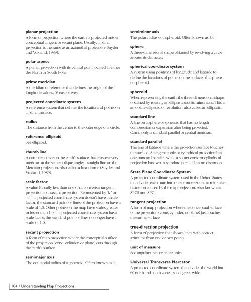
planar projectionA form of projection where the earth is projected onto aconceptual tangent or secant plane. Usually, a planarprojection is the same as an azimuthal projection (Snyderand Voxland, 1989).polar aspectA planar projection with its central point located at eitherthe North or South Pole.prime meridianA meridian of reference that defines the origin of thelongitude values, 0° east or west.projected coordinate systemA reference system that defines the locations of points ona planar surface.radiusThe distance from the center to the outer edge of a circle.reference ellipsoidSee ellipsoid.rhumb lineA complex curve on the earth’s surface that crosses everymeridian at the same oblique angle; a straight line on theMercator projection. Also called a loxodrome (Snyder andVoxland, 1989).scale factorA value (usually less than one) that converts a tangentprojection to a secant projection. Represented by ‘k 0’ or‘k’. If a projected coordinate system doesn’t have a scalefactor, the standard point or lines of the projection have ascale of 1.0. Other points on the map have scales greateror lesser than 1.0. If a projected coordinate system has ascale factor, the standard point or lines no longer have ascale of 1.0.secant projectionA form of map projection where the conceptual surfaceof the projection (cone, cylinder, or plane) cuts throughthe earth’s surface.semimajor axisThe equatorial radius of a spheroid. Often known as ‘a’.semiminor axisThe polar radius of a spheroid. Often known as ‘b’.sphereA three-dimensional shape obtained by revolving a circlearound its diameter.spherical coordinate systemA system using positions of longitude and latitude todefine the locations of points on the surface of a sphereor spheroid.spheroidWhen representing the earth, the three-dimensional shapeobtained by rotating an ellipse about its minor axis. This isan oblate ellipsoid of revolution, also called an ellipsoid.standard lineA line on a sphere or spheroid that has no lengthcompression or expansion after being projected.Commonly, a standard parallel or central meridian.standard parallelThe line of latitude where the projection surface touchesthe surface. A tangent conic or cylindrical projection hasone standard parallel, while a secant conic or cylindricalprojection has two. A standard parallel has no distortion.State Plane Coordinate SystemA projected coordinate system used in the United Statesthat divides each state into one or more zones to minimizedistortion caused by the map projection. Also known asSPCS and SPC.tangent projectionA form of map projection where the conceptual surfaceof the projection (cone, cylinder, or plane) just touchesthe earth’s surface.true-direction projectionA form of projection that shows lines with correctazimuths from one or two points.unit of measureSee angular units or linear units.Universal Transverse MercatorA projected coordinate system that divides the world into60 north and south zones, six degrees wide.104 • <strong>Understanding</strong> <strong>Map</strong> <strong>Projections</strong>


