

Understanding Map Projections
Understanding Map Projections
Understanding Map Projections
- No tags were found...

You also want an ePaper? Increase the reach of your titles
YUMPU automatically turns print PDFs into web optimized ePapers that Google loves.
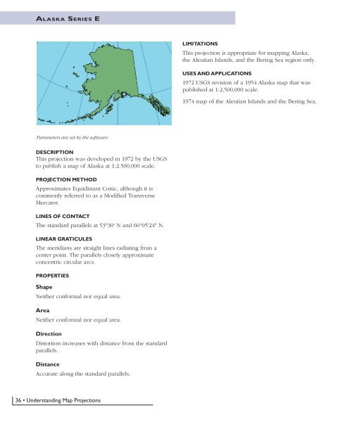
ALASKA SERIES ELIMITATIONSThis projection is appropriate for mapping Alaska,the Aleutian Islands, and the Bering Sea region only.USES AND APPLICATIONS1972 USGS revision of a 1954 Alaska map that waspublished at 1:2,500,000 scale.1974 map of the Aleutian Islands and the Bering Sea.Parameters are set by the software.DESCRIPTIONThis projection was developed in 1972 by the USGSto publish a map of Alaska at 1:2,500,000 scale.PROJECTION METHODApproximates Equidistant Conic, although it iscommonly referred to as a Modified TransverseMercator.LINES OF CONTACTThe standard parallels at 53°30' N and 66°05'24" N.LINEAR GRATICULESThe meridians are straight lines radiating from acenter point. The parallels closely approximateconcentric circular arcs.PROPERTIESShapeNeither conformal nor equal area.AreaNeither conformal nor equal area.DirectionDistortion increases with distance from the standardparallels.DistanceAccurate along the standard parallels.36 • <strong>Understanding</strong> <strong>Map</strong> <strong>Projections</strong>


