las comunidades de peces del río guadiamar y el accidente minero ...
las comunidades de peces del río guadiamar y el accidente minero ...
las comunidades de peces del río guadiamar y el accidente minero ...

Create successful ePaper yourself
Turn your PDF publications into a flip-book with our unique Google optimized e-Paper software.
Las <strong>comunida<strong>de</strong>s</strong> <strong>de</strong> <strong>peces</strong> <strong>de</strong>l <strong>río</strong> Guadiamar<br />
y <strong>el</strong> acci<strong>de</strong>nte <strong>minero</strong> <strong>de</strong> Aznalcóllar<br />
Materials and Methods<br />
Study area<br />
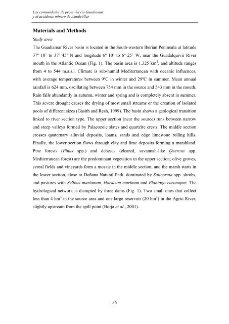
The Guadiamar River basin is located in the South-western Iberian Peninsula at latitu<strong>de</strong><br />
37º 10’ to 37º 45’ N and longitu<strong>de</strong> 6º 10’ to 6º 25’ W, near the Guadalquivir River<br />
mouth in the Atlantic Ocean (Fig. 1). The basin area is 1.325 km 2 , and altitu<strong>de</strong> ranges<br />
from 4 to 544 m.a.s.l. Climate is sub-humid Mediterranean with oceanic influences,<br />
with average temperatures between 9ºC in winter and 29ºC in summer. Mean annual<br />
rainfall is 624 mm, oscillating between 754 mm in the source and 543 mm in the mouth.<br />
Rain falls abundantly in autumn, winter and spring and is complet<strong>el</strong>y absent in summer.<br />
This severe drought causes the drying of most small streams or the creation of isolated<br />
pools of different sizes (Gasith and Resh, 1999). The basin shows a geological transition<br />
linked to river section type. The upper section (near the source) runs between narrow<br />
and steep valleys formed by Palaeozoic slates and quartzite crests. The middle section<br />
crosses quaternary alluvial <strong>de</strong>posits, loams, sands and edge limestone rolling hills.<br />
Finally, the lower section flows through clay and lime <strong>de</strong>posits forming a marshland.<br />
Pine forests (Pinus spp.) and <strong>de</strong>hesas (cleared, savannah-like Quercus spp.<br />
Mediterranean forest) are the predominant vegetation in the upper section; olive groves,<br />
cereal fi<strong>el</strong>ds and vineyards form a mosaic in the middle section; and the marsh starts in<br />
the lower section, close to Doñana Natural Park, dominated by Salicornia spp. shrubs,<br />
and pastures with Sylibus marianum, Hor<strong>de</strong>um murinum and Plantago coronopus. The<br />
hydrological network is disrupted by three dams (Fig. 1). Two small ones that collect<br />
less than 4 hm 3 in the source area and one large reservoir (20 hm 3 ) in the Agrio River,<br />
slightly upstream from the spill point (Borja et al., 2001).<br />
56